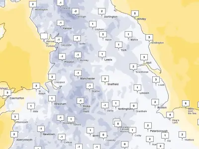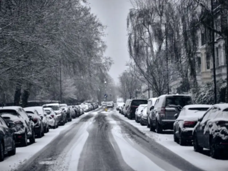
A yellow alert for snow is now active across parts of the UK, with forecasters cautioning that travel could be disrupted during the Tuesday morning rush hour. The Met Office warning, extending from Staffordshire in the West Midlands to south-west Scotland, remains in force until 11am.
Some roads and railways are likely to be affected, and the forecasting body noted a “small chance” of power outages and impacts on mobile phone service. The affected region includes much of Yorkshire, as well as Derbyshire, Northumberland, Greater Manchester, Cumbria and Lancashire.
Snow Depths and Affected Areas
Locations at 100 metres altitude or higher are expected to see the greatest impact, with any snow falling below this level likely to be temporary and quick to melt. Where snow does accumulate, depths of 1-5cm are likely, while some spots above 300-400 metres could see 5-15cm.
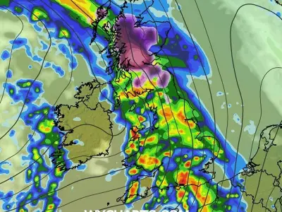
Met Office meteorologist Alex Burkill said: “We have a weather system out towards the west/south west of us that’s going to feed north-eastwards and, importantly, it’s going to hit against the cold air that’s across us and as a result we’re going to see some snow.”
Forecast Details and Health Alert
Burkill added that rain is already heavy and persistent across parts of the far South West and will feed north-eastwards, accompanied by blustery winds. He noted there could be thunder and hail mixed in with the rain, as well as brighter breaks between showers.
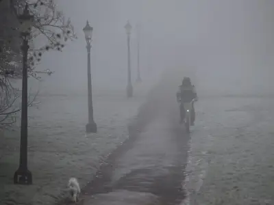
The warning follows the UK’s coldest night of the season so far on Sunday, with a low of minus 7.7C recorded at Tulloch Bridge in the Scottish Highlands. The UK Health Security Agency (UKHSA) has issued a yellow cold health alert for the North West, North East, and Yorkshire and the Humber, in place until 9am on Thursday. These alerts indicate that weather conditions could lead to increased use of healthcare services and a greater risk to life for vulnerable people, the agency said.