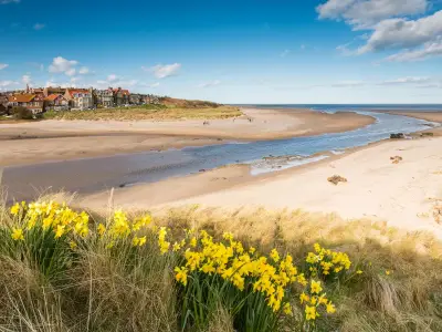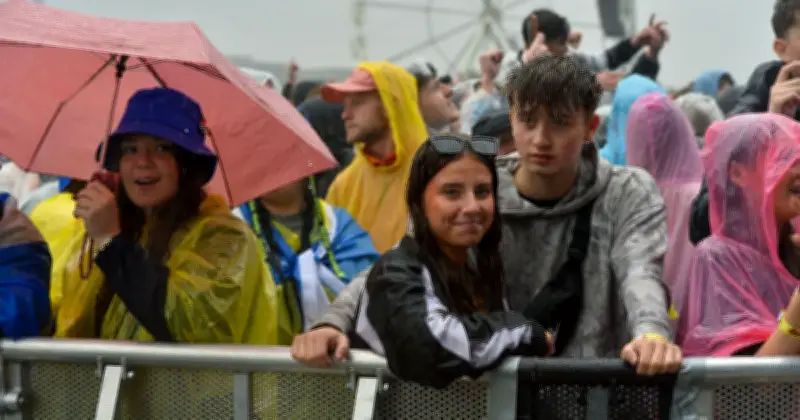
Weather maps indicate that the United Kingdom is set for a soaking later this month, with rain sweeping across large parts of the country after a period of scorching temperatures. According to WXCharts, a band of rain will move into southern England, Wales, and western Scotland from Wednesday, July 15, into the following day.
Rain Band on July 15-16
The maps, generated by WXCharts, show a band of rain stretching from Aberystwyth to Margate at 6pm on July 15, with the heaviest outbreaks expected in South Wales. Rain continues over southern Britain until the evening of July 16, after which the UK is forecast to remain dry, according to WXCharts. It is important to note that this is just one weather model and the maps may change given the forecast distance.
Met Office Long-Range Forecast
The Met Office's long-range forecast, separate from WXCharts, suggests England and Wales will be "dry and very warm" as high pressure establishes itself between July 10 and 19. However, there is an "ongoing chance" of thunderstorms moving up to the UK from France. Much of Scotland and Northern Ireland also look set to remain dry and warm, with temperatures very warm, hot, or even very hot in parts of the south.

Heat Relief and Exceptional Heat Potential
Some relief from the heat may be felt from July 13, as the Met Office detects signs the heatwave will ease and "more normal" summer temperatures prevail. Netweather's monthly forecast for July 13-19 shows potential for "exceptional heat" in southern Britain, similar to that seen at the end of June. It notes: "The probabilities favour less of a prolonged extreme hot spell. The potential for heat recedes later in the week as the signal for high pressure reduces and the weather is likely to cool down from the west towards the end of the week." Netweather expects this period to be drier and sunnier than average for most, though rainfall will "probably" be "near normal" in parts of North-West Britain.
This Week's Heatwave Peak
This week, Thursday is currently expected to be the peak at 34C, before the mercury slowly climbs down. However, parts of the south will still be in the low 30s at the end of the coming week, according to the Met Office. Meanwhile, Southern Water has issued a hosepipe ban from 12.01am on July 10 in Hampshire and on the Isle of Wight. South East Water's temporary hosepipe ban for people living in Kent came into force on Friday, July 3.
Health Warnings and June Record
A week-long warning from health officials also came into force on Saturday for parts of the UK, stating that high temperatures over the coming days could cause a greater risk to life for vulnerable people. The UK Health Security Agency's new alert follows a sweltering heatwave at the end of June, when the Met Office issued a rare red warning for extreme heat for parts of the country and the UKHSA put red heat health alerts in place. Britain set a provisional June temperature record of 37.7C in Lingwood, Norfolk, according to the Met Office. This beats the previous June record for the UK of 35.6C dating back to 1976 by more than 2C. Such records have usually been broken by only a fraction of a degree in the past.