Met Office weather maps show temperatures across north west England are forecast to drop as low as 2C in the coming days. The chill comes just days after parts of the UK were forecast to hit warmer-than-average highs of 21C.
Parts of the UK were hit with "severe gales" on Wednesday, October 14, which will make way for "heavy rain" on Thursday, October 15.
Thursday forecast
The Met Office's UK-wide forecast for Thursday reads: "Rain, often heavy, edging into northern England and Wales. Brighter and cooler conditions following to Northern Ireland and much of Scotland. Unseasonably warm across England and Wales. Windy in places."
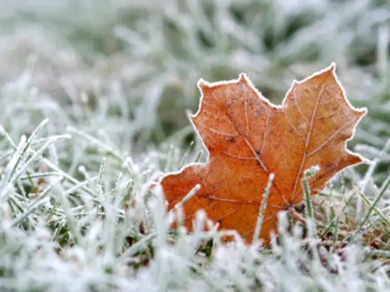
Moving onto the weekend, the Met Office forecast for the UK predicts sunny spells and showers on Friday, October 16, with "quite chilly" times and "rural night frosts".
Temperature drop
Met Office weather maps show temperatures forecast to hit 21C in parts of southern England on Thursday, including Norwich, London, Peterborough and Cambridge, which is above average for this time of year.
By Saturday morning, October 17, some parts of north west England are forecast to plunge as low as 2C, with Greater Manchester dropping to lows of 4C.
Long range outlook
Looking ahead at the Met Office's long range forecast for the UK, which covers the period between October 19 and 28, the UK could see "night frost" throughout the second half of the month.
"High pressure is expected to lie close to or across the UK through much of this period," the Met Office says. It continues: "This likely to result in plenty of fine weather. Some rain is still likely at times as more unsettled conditions attempt to move in from the west or southwest at times."
"Overall, drier than normal conditions for the time of year are more likely for most regions. Temperatures generally around average, in more settled spells some night frost and morning fog patches are likely."
Looking even further ahead at the period between October 29 and November 12, the Met Office said that "changeable or unsettled" weather is expected.
It reads: "High pressure will probably be dominant at first with many areas fine and dry. A transition to more changeable or unsettled weather patterns is expected during the first part of November with showers or longer spells of rain becoming more likely. Temperatures are likely to be near to or above normal for the period as a whole."