
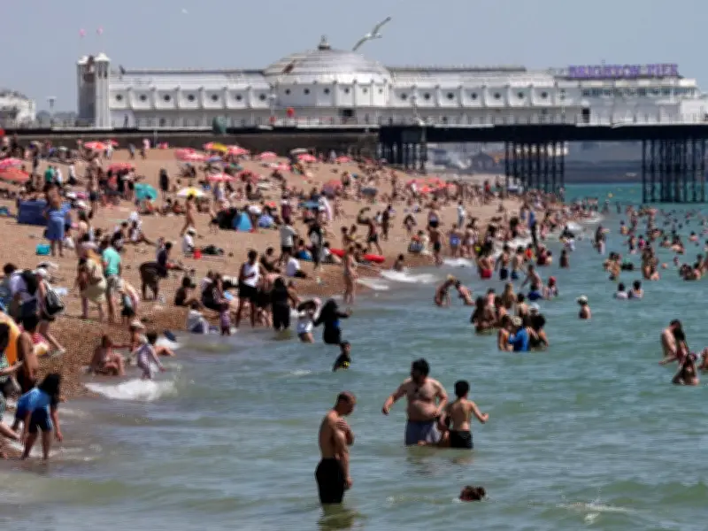
Britain's bone-dry summer could sizzle on until Halloween as the monster Super El Niño tightens its grip. The powerful climate pattern is forecast to crank up between August and October, leaving Northern Europe desperately short of rain.
El Niño's growing strength
El Niño is a natural phenomenon in the Pacific Ocean that can send temperatures soaring and change rainfall patterns across the globe. Experts reckon the blistering weather seen so far is "only the warm-up act" as the weather giant gathers strength.
The World Meteorological Organisation says El Niño is expected to grow into a "strong" event over the coming months, with sea surface temperatures in the tropical Pacific climbing to almost 3C above average.
Impacts on Britain
It normally peaks between November and February, meaning its biggest weather punch is still to come. The alert comes after Britain baked through its driest July on record.
Months of relentless heat have battered crops, emptied reservoirs, and left farmers fearing for this year's harvest. Andrew Blenkiron, who runs the Elveden Estate in Suffolk, warned: "It really is going to take a lot of rain to make any significant difference. People say we can import food from around the world but because of the El Nino event, we could see impact on crops across the globe in future."
Global warnings
UN Secretary-General António Guterres warned: "El Niño is strengthening, adding fuel to a planet already on fire with scorching heat domes, apocalyptic wildfires and record hot seas."
Scientists stress El Niño is a naturally occurring climate cycle rather than being caused by climate change. But it acts like rocket fuel for a warming planet, ramping up the risk of heatwaves, droughts, and devastating wildfires across the globe. Britain has already suffered three of its worst harvests on record in the past five years, while extreme weather has helped keep food prices stubbornly high.




