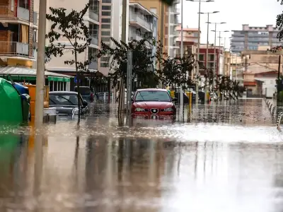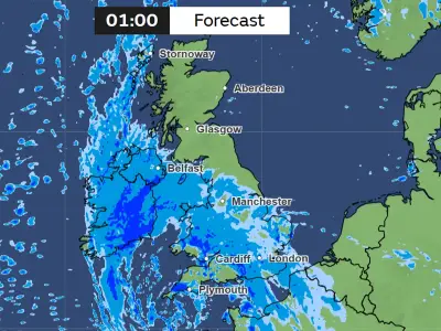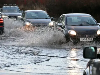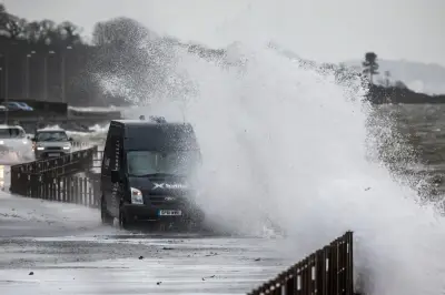
Storm Boelo is causing widespread disruption across the UK, with flooding, power cuts and hazardous winds affecting many regions. Multiple wind, rain and flood warnings have been issued to keep the public safe, just hours after Storm Austen, the season's first named storm, brought gusts of up to 80mph to parts of the South West.
Met Office chief forecaster Jason Kelly said: "People should prepare for the potential for disruption, particularly to travel and power supplies."
Amber and yellow wind warnings
Large parts of Scotland and sections of northern England are experiencing the most severe winds, with an amber warning active until 9pm today (Sunday, October 25). The warning covers areas of Lancashire, Blackpool, Cumbria, Northumberland, Durham and North Yorkshire.
A separate amber warning applies to parts of County Antrim and County Londonderry in Northern Ireland until 10am today. Wind speeds of 60-70mph are expected widely across the warning zones.
A broader yellow wind warning covers Scotland, substantial portions of northern England and areas of the Midlands and North Wales until 9pm today. Another covering Northern Ireland remains active until midday.
Travel by road, rail, air and ferry faces potential disruption, with delays and cancellations likely. Some roads and bridges may close, and strong winds could damage buildings and topple trees beyond the amber warning zones.
Yellow rain warnings
A yellow rain warning spanning Wales and parts of western and southern England remains in force until 11pm on Saturday. Flooding may affect roads, properties and businesses, with spray and pooling water making travel more difficult.
A separate rain warning affects areas of northern Scotland, including Highland, Moray, Aberdeenshire, Angus and Perth and Kinross, until 3pm on Sunday. Additional rainfall could cause localised flooding and disruption to public transport.
Flood warnings in England, Wales and Scotland
The Environment Agency issued 13 flood warnings and 66 flood alerts at 10.17pm on Saturday. A warning means flooding is expected, while an alert means it is possible. Warnings applied to locations in Cumbria, Greater Manchester, Merseyside, Somerset and Lancashire, including parts of the Cumbrian coastline and communities near rivers and brooks.
At Lostock, in Greater Manchester, the agency reported elevated river levels were already causing flooding, with properties along several roads particularly affected. Broader alerts extended to locations throughout England, including rivers in the North West and South West, coastal stretches and waterways in London and neighbouring regions.
In Wales, Natural Resources Wales issued five flood warnings on Saturday evening, along with numerous alerts. The warnings applied to areas along the rivers Ely, Ewenny, Lower Clydach and Rhondda, with people in affected locations urged to take immediate action. At Talbot Green, flooding to homes and roads continued despite river levels beginning to recede and the heaviest rainfall moving away. At Porth, rising levels on the River Rhondda triggered warnings that homes could flood, while low-lying land and roads were already being impacted. Flooding was also anticipated to affect homes around Ewenny Village. Broader alerts covered river catchments and sections of coastline, including Pembrokeshire, Carmarthenshire, Swansea Bay and the Gower.
People were urged to relocate family members, pets and valuables to safety and avoid walking or driving through floodwater.
Scotland's environment agency SEPA issued 29 flood warnings and 11 alerts on Saturday evening. The affected areas included parts of Ayrshire, Dumfries and Galloway, Tayside, Orkney and the Western Isles, along with Dumbarton. SEPA expressed particular concern about coastal flooding in western regions, with river and surface water flooding possible throughout the weekend, especially in northern Scotland and the Upper Tayside, Upper Dee and Spey catchments.
More strong winds expected next week
The unsettled conditions look set to continue into next week, with a further yellow wind warning issued for Tuesday, October 27. The alert covers Scotland and areas of Northern Ireland and northern England from 3am through to 11.59pm. Additional disruption is likely, although forecasters noted uncertainty remains over where the most powerful gusts will strike.