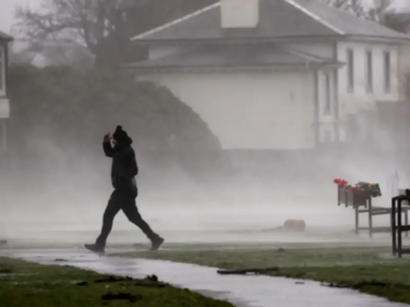
The Met Office has named the first storm of the season, Storm Austen, which is expected to batter the UK from Thursday. A wind warning has been issued, urging people in 38 areas to prepare for potential power cuts by gathering batteries and torches.
Wind warning details
Wind speeds could reach 70mph in parts of Wales and the south-west of England on Friday. The warning is in place from midnight until midday. The Met Office states that power cuts are possible for those living in the warning area, and people are urged to “consider gathering torches and batteries, a mobile phone power pack and other essential items”.
The fierce winds could cause damage to buildings, with a risk of injuries and a “danger to life” from flying debris. Rail, air and ferry services could all be impacted, and some roads and bridges may close.
Coastal risks and preparation advice
There will also be dangers along coastlines. “There is a small chance that injuries and danger to life could occur from large waves and beach material being thrown onto sea fronts, coastal roads and properties,” the Met Office says.
People are also urged to check “loose items” around their homes, such as bins, garden furniture, trampolines, tents, sheds and fences, and secure them if necessary.
Areas covered and forecaster comment
The warning covers 38 areas, including Brighton and Hove, East Sussex, Hampshire, Isle of Wight, Portsmouth, Southampton, West Sussex, Bath and North East Somerset, Bournemouth Christchurch and Poole, Bristol, Cornwall, Devon, Dorset, Gloucestershire, Isles of Scilly, North Somerset, Plymouth, Somerset, South Gloucestershire, Torbay, Wiltshire, Blaenau Gwent, Bridgend, Caerphilly, Cardiff, Carmarthenshire, Ceredigion, Merthyr Tydfil, Monmouthshire, Neath Port Talbot, Newport, Pembrokeshire, Powys, Rhondda Cynon Taf, Swansea, Torfaen, Vale of Glamorgan, and Herefordshire.
Met Office Deputy Chief Forecaster Tom Crabtree said: “While the exact track and position of Storm Austen is still being determined, what’s clear is that we have an impactful period of weather on the way and the potential for disruption in places, which has resulted in the system being named.
“Peak gusts in excess of 70mph are possible on the most exposed coastal areas, while 50-60mph are likely more widely within the warning area. Weather warnings are under constant review and could be updated as confidence increases, so it’s important to stay up-to-date with the forecast in the coming days.”