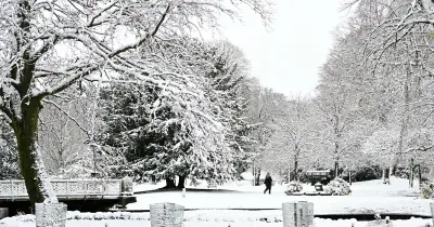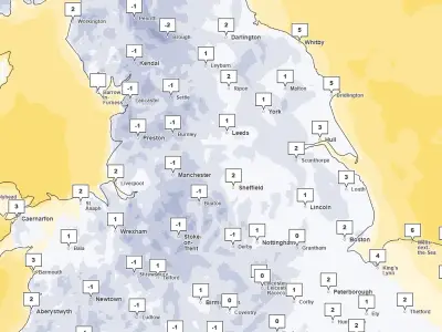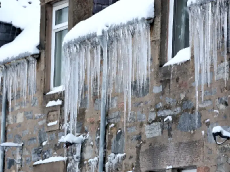
Ice warnings are in place across many parts of Scotland on Monday morning, with drivers urged to take care. The Met Office yellow warning of ice is in force until 10am on Monday.
It covers the Highlands, Grampian, central Scotland east of Cumbernauld and southern Scotland east of Dumfries, as well as parts of northern England. Forecasters have warned that icy stretches developing on untreated surfaces could lead to difficult driving conditions.
Forecasters warn of hazardous travel
Traffic Scotland has urged people to take care and drive to the conditions. Ethan Douglas, operational meteorologist at the Met Office, said the cold conditions could lead to an ice risk on the roads, causing “potentially hazardous travelling conditions”.
He told the Press Association: “On Sunday night and Monday morning, there is the potential for some disruptive ice (given the preceding rain and cold night) and snow. The snow risk will be constrained to Scottish hills, bringing difficult driving conditions there.”
“The ice risk may be present more widely across the north of the UK, causing extended journey times and potentially hazardous travelling conditions.”
Snow risk and advice for the public
Forecasters warn there may be icy patches on some untreated roads, pavements and cycle paths, and a risk of injuries from falls and slips on icy surfaces. The warning on Monday will be followed by a warning of snow in parts of southern Scotland and northern and central England on Tuesday.
The Met Office warning for Scotland on Monday read: “An area of rain and hill snow (snow mainly above 200 m but not expected to be impactful) will clear to the southeast tonight with skies then at least partially clearing.”
“This will result in temperatures falling below freezing and some icy stretches developing on untreated surfaces. This is likely to lead to difficult driving conditions. These conditions will probably not develop across southeast Scotland until the end of the night.”
“Across northern Scotland, icy conditions are likely to be exacerbated by some wintry showers, with snow falling to low levels for a time before becoming mainly confined to higher ground late in the night. No more than 1-2 cm is likely at lower levels, with higher ground perhaps seeing up to 4 or 5 cm from these wintry showers.”
The national forecaster has issued some key advice amid the cold snap, including leaving the house at least five minutes earlier than usual, as rushing could lead to accidents, slips and falls.
For those who need to make a journey on foot, the advice is to use pavements along main roads, which are likely to be less slippery. Similarly, if cycling, people should stick to main roads, which are more likely to have been treated.
Scots should give themselves the best chance of avoiding delays by checking road conditions if driving, or bus and train timetables, and amending travel plans if necessary.