
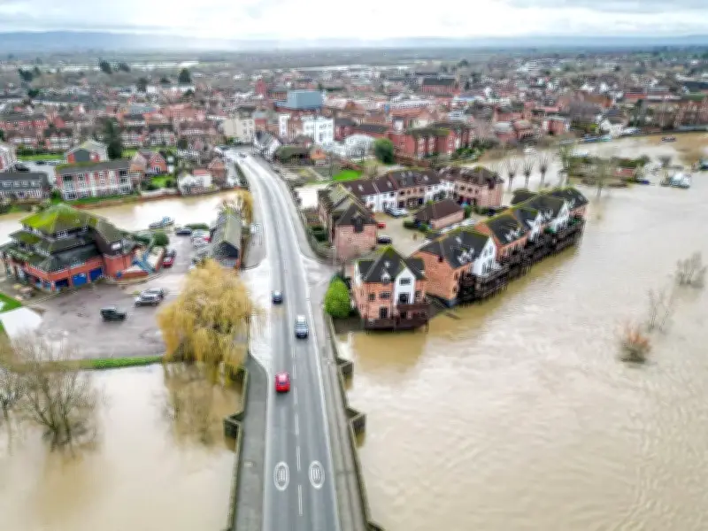
The Met Office has said there is a heightened potential for wet, windy and stormy weather and flooding in the UK this autumn, with forecasters attributing the increased risk in part to the El Niño phenomenon.
El Niño could bring unsettled conditions
Chilly temperatures and unsettled conditions could affect the UK over the coming months as El Niño continues to disrupt weather patterns across the globe. Forecasters have also cautioned that the phenomenon could interfere with cold winds near the Arctic, known as the stratospheric polar vortex.
However, the latest forecasts indicate El Niño is currently more likely to trigger a drop in temperatures this winter, rather than producing a polar vortex over the UK this autumn. Downpours are already forecast for October, including a band of showers expected to make landfall on Saturday for many regions.
Higher chance of rain, wind and mild conditions
Atmospheric waves set off by El Niño destabilise the polar vortex, also raising the likelihood of heavy snowfall. The Met Office's long-range outlook covering the next three months points to higher-than-average chances of rain, strong winds and mild conditions.
The probability of the October to December period being wet overall is twice the normal level, while windy and mild weather is also more likely than usual. Dr Will Lang, chief forecaster at the Met Office, described it as a subtle shift in the odds rather than a certainty that conditions would be wetter, milder and windier.
He said: "We are going in with a heightened potential for wet weather, heightened potential for potentially stormy conditions, and that leads through to a heightened potential for flooding."
Drier conditions possible later in winter
Early indications also suggest that towards the end of winter, there is an increased likelihood of drier, colder and more settled conditions. The Met Office states that the expected conditions are consistent with the influence of El Niño on UK autumn and winter weather.
El Niño is a naturally occurring climate phenomenon that originates in the Pacific Ocean when sea surface temperatures across the central and eastern equatorial Pacific become considerably warmer than usual, altering atmospheric circulation patterns and impacting weather across the globe.
Following a dry summer and drought
A record-breaking "Godzilla" El Niño has already taken hold in recent months. These latest predictions follow a drier than average September across much of the UK, which came on the back of a record-breaking hot summer with widespread drought across England and Wales, bringing hosepipe bans, damage to crops and wildlife, and outbreaks of fire.
The UK received just 77% of its average summer rainfall, with every region except north-west Scotland enduring a dry summer. Parts of southern and eastern England were particularly badly affected, including a remarkable run of 62 consecutive days without rain at Wisley, Surrey.
The Environment Agency has warned that the drought will persist until reservoirs and aquifers are fully replenished, with above-average rainfall required to restore conditions to normal levels.




