The Met Office has said a deep area of low pressure could pass close to the UK during the first half of next week, potentially bringing wet and windy conditions. However, it is too early to tell whether the system will be named Storm Austen, the first name on this year's storm list.
Weekend weather and early next week outlook
This weekend will see mixed weather across the country, with some fine and dry weather and also a chance of thunderstorms. Areas in the north west are likely to see some rain on Saturday, with showers reaching Scotland and Northern Ireland during Sunday. Southwest England, Wales and the West Midlands could see more substantial downpours, with a possibility of thunder.
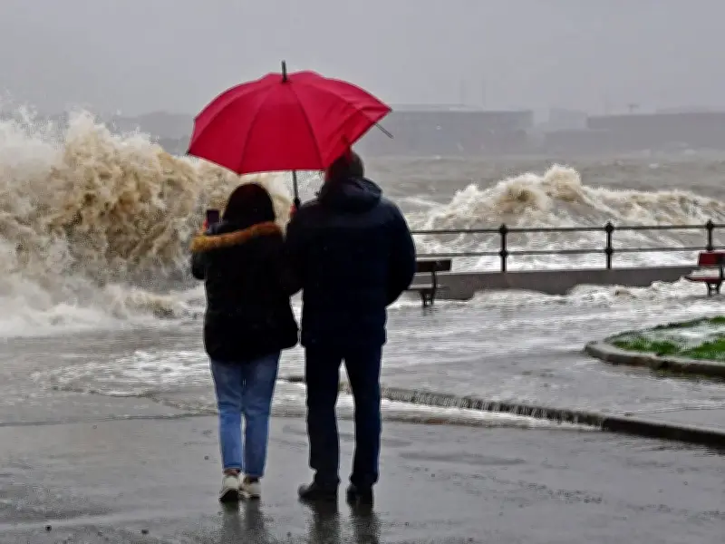
Looking ahead to the start of next week, there is a chance that more wet and windy weather could arrive in the UK. Met Office Deputy Chief Forecaster Dan Holley said: “A particularly deep area of low pressure could pass close to the UK during the first half of next week. This may bring some wet and windy weather for some, which coupled with high spring tides could bring impacts to some coastal areas in the west.”
Jet stream and regional impacts
One or more areas of low pressure are expected to form during the early part of next week due to the changing jet stream, with wind and rain predicted to arrive late on Monday or early Tuesday. Western areas are most likely to experience heavy rain and strong winds, while eastern areas may remain somewhat drier, the weather agency said.
Met Office spokesperson Grahame Madge told the Manchester Evening News: "There are forecast signals that next week will have an unsettled feel with the potential for an area of low-pressure to bring potentially wet and windy conditions to parts of the UK from Tuesday."
El Niño influence and storm naming
The UK could be in for a stormier autumn than usual this year due to the impact of the El Niño weather event. Although the UK is thousands of miles from the tropical Pacific, where El Niño is currently developing, the UK will be impacted, according to meteorologists.
The Met Office explained: "As the event approaches its winter peak, there is an increased likelihood of wetter and stormier conditions across north-west Europe, including the UK, during autumn and early winter. While El Niño is only one of many factors influencing the UK's weather, its growing influence may therefore increase the chances of a more unsettled period during the coming months. Later in the season, El Niño is associated with increased risk of cold snaps."
With autumn now underway, it likely won't be long until the season's first storm hits the UK. But the Met Office said it is too early to tell whether the low pressure system heading for the UK next week will be named or not. When an area of low pressure is expected to severely impact the UK, the Met Office can choose to name it as a storm to help people prepare and stay safe. A list of pre-decided storm names is published annually and this year, the first storm name on the list is Austen.
The Met Office compiles the list in partnership with Ireland's Met Éireann and the Dutch national weather forecasting service KNMI. The organisations have been naming storms since 2015, with the list running from early September to the following August. In the UK's previous storm season, four names were used from the list, reaching the letter D with Storm Dave on April 1. The UK also saw impacts from a further three storms named by other European meteorological services – Storms Benjamin, Claudia and Goretti. Under naming conventions used for storms in the North Atlantic, the list runs alphabetically, missing out Q, U, X, Y and Z.