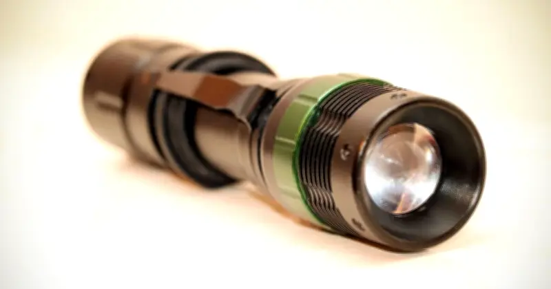
The Met Office has advised millions of households to consider gathering a torch and other emergency items in case of power cuts. The advice came as the organisation announced a yellow warning for wind affecting millions of Britons on Friday (October 23). Forecasters warned that Storm Austen will start to hit the UK later this week.
Yellow Warning in Effect
The warning covers dozens of local authorities in southern England and Wales and will be in effect from midnight on Friday morning and will remain in place until noon that day. Residents in affected areas have been told to expect "a slight chance of some damage to buildings, such as tiles blown from roofs."
It also said there was a chance of injuries and danger to life from flying debris and a chance of longer journey times or cancellations. Additionally, power cuts may occur and could affect other services, such as mobile phone coverage.
Advice for Residents
The warning includes advice on what people in areas under the warning should do, with the Met Office calling on people to "prepare to protect your property and people from injury." The advice reads: "Check for loose items outside your home and plan how you could secure them. Items include: bins, garden furniture, trampolines, tents, sheds, and fences."
It says residents can also give themselves the best chance of avoiding delays by "checking road conditions if driving, or bus and train timetables, amending your travel plans if necessary." Given the chance of power cuts, the UK weather agency advises that people cope better with outages "when they have prepared for them in advance."
Storm Details
Providing further detail about the conditions expected, the Met Office warning says: "Strong west to northwesterly winds may spread across southern parts of England and Wales on Friday. Gusts of 50-60 mph are possible and some coastal or exposed areas could see 70 mph or more, but at this time there is uncertainty in where the strongest winds will be."
Met Office deputy chief forecaster Tom Crabtree said: "While the exact track and position of Storm Austen is still being determined, what's clear is that we have an impactful period of weather on the way and the potential for disruption in places, which has resulted in the system being named."
He added: "Peak gusts in excess of 70mph are possible on the most exposed coastal areas, while 50-60mph are likely more widely within the warning area. Weather warnings are under constant review and could be updated as confidence increases, so it's important to stay up-to-date with the forecast in the coming days."
The Met Office said the storm will "move from west to east through Friday, with winds generally diminishing later in the day." It notes that rain is "an additional hazard, with 20-30mm in many places and higher totals possible over higher ground in the west and further north on Friday."
The agency adds that while Storm Austen's influence will wane late on Friday, "further periods of wind and rain are likely through the weekend and into the start of next week, with the heaviest rain more likely in western areas."