
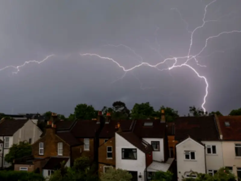
The Met Office has issued a thunderstorm warning for parts of the UK, with heavy rain expected to break the recent extreme heat. The warning comes as July was officially declared the driest on record for England and Wales.
Storms forecast for Northern Ireland and parts of England
Storms are forecast for all six counties of Northern Ireland on Tuesday (4 August), with 20-30mm of rain potentially falling in an hour or two, along with a chance of localised flooding and travel disruption. Heavy showers and thunderstorms will also develop for parts of England and Wales, with up to 30mm falling in some spots, though not everyone will see rain.
A yellow warning will remain in place from midday tomorrow until 9pm.
Drought conditions persist despite rain
Despite the wet conditions, experts at the Met Office have warned that weather in August is not looking favourable for delivering the sustained rain needed to reverse dry conditions that have left half of England officially in drought. Some 23 million customers are under hosepipe bans as rivers continue to struggle with low water levels.
Farmers are warning of poor crop yields, with some already feeding winter feed to their livestock. In Europe, wildfires have devastated forests and wooded areas across France and Spain, in blazes that analysis shows are made more likely by climate change.
Climate change and outlook
The UK is facing the impacts of increasingly extreme weather such as droughts and heatwaves fuelled by human-caused climate change, which is caused mostly by burning fossil fuels.
A Met Office spokesperson added that heavy and persistent rain will be generally focused on northern areas in the coming days, while those further to the southeast will "continue to see little in the way of rain, though some isolated showers are possible at times in central and southern England".
Temperatures are set to drop in the second half of the week, with any warmth increasingly confined to the far east of England and a return to more average temperatures for many.




