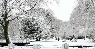
The Met Office has issued a 12-hour yellow weather warning for snow covering 23 local authority areas across England and Scotland, with forecasters warning that travel could be disrupted on Tuesday morning.
The warning is in force from midnight until midday, as a band of rain moving northwards is expected to turn wintry when it meets colder air. Forecasters said: "Snow may cause disruption on high ground during Tuesday morning."
Motorists and rail passengers have been warned to expect delays, with some roads and railway lines "likely" to be affected. The Met Office also said there is a small risk of power cuts and disruption to mobile phone services in the worst-affected areas, The Mirror reports.
Snow depths and affected regions
In guidance issued on Sunday, the forecaster said: "A band of rain is expected to head northwards across the UK through Monday night and Tuesday morning. As it encounters colder air across the highlighted region, it is likely to turn to snow for a time, mainly affecting locations at 100 m altitude or higher."
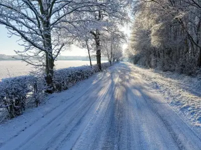
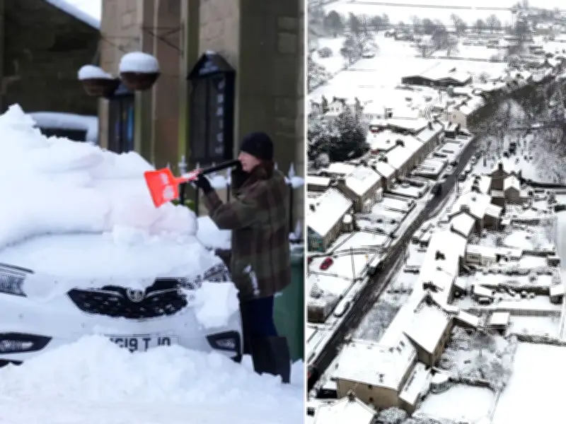
"Any snow falling below this level will more likely be temporary and quickly melt. Where snow does accumulate, depths of 1-5 cm are likely; some locations above 300-400 m could see 5-15 cm."
"This may cause travel disruption on higher level routes, particularly in combination with a strong easterly wind which could also cause some localised drifting. Some accretion of ice onto infrastructure such as power lines is also a possibility."
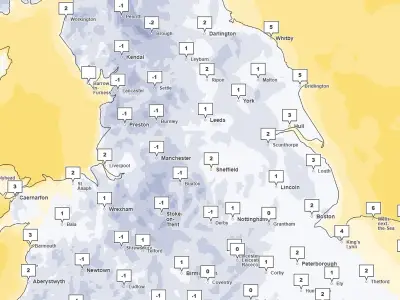
The 23 areas covered by the warning are in the East Midlands, North East England, North West England, Strathclyde, SW Scotland, Lothian Borders, West Midlands and Yorkshire and the Humber.
Full list of areas under the warning
Scottish areas to be covered by snow on Tuesday include East Ayrshire, South Ayrshire, South Lanarkshire, Dumfries and Galloway, Midlothian Council and the Scottish Borders.
Areas across England to be affected are Derbyshire, Nottinghamshire, Darlington, Durham, Gateshead, Newcastle upon Tyne, Northumberland, Blackburn with Darwen, Cheshire East, Cumbria, Greater Manchester, Lancashire, Staffordshire, Stoke-on-Trent, North Yorkshire, South Yorkshire and West Yorkshire.
The Met Office added that the likelihood of snow is "high" and its impact will be "moderate". This follows a yellow weather warning for ice, which is also in place from 6pm on Sunday to 10am on Monday, covering 23 areas. Most of these are in Scotland, with Durham, Northumberland and Cumbria also affected.
Snow will gradually turn back to rain both from the south and through the morning on Tuesday.