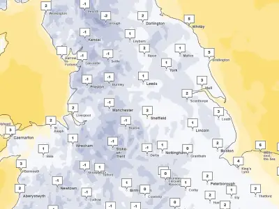
The Met Office has issued a 12-hour yellow weather warning for snow, with 23 areas across the UK warned of potential disruption. The warning was issued at 5.15pm on Sunday, November 15, and will come into effect at midnight, remaining in place until 12pm on Tuesday, November 17.
Snow expected on high ground
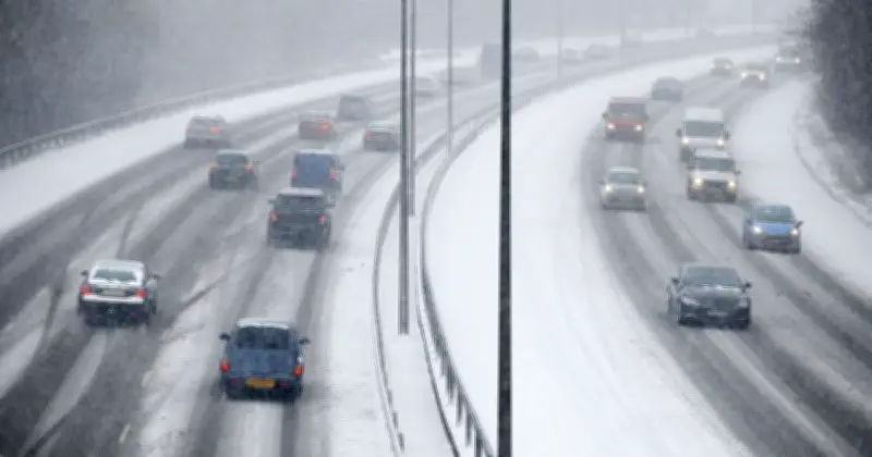
The national weather service warned that snow may cause disruption on high ground during Tuesday morning, with some roads and railways likely to be affected, leading to longer journey times by road, bus and train services. There is also a small chance of power outages or degradation of mobile phone service.
A band of rain is expected to move northwards across the UK throughout Monday night and into Tuesday morning. However, as it meets colder air, the rain is likely to turn to snow across the areas covered by the warning.
Accumulation details
The Met Office said snow will mainly affect locations at elevations of 100 metres or higher. Any snow falling below this level is expected to be temporary and likely to melt quickly. Where snow accumulates, between 1cm and 5cm is expected, though some locations above 300 to 400 metres could see higher accumulations of between 5cm and 15cm.
The Met Office stated: "A band of rain is expected to head northwards across the UK through Monday night and Tuesday morning. As it encounters colder air across the highlighted region, it is likely to turn to snow for a time, mainly affecting locations at 100m altitude or higher. Any snow falling below this level will more likely be temporary and quickly melt."
"Where snow does accumulate, depths of 1-5 cm are likely; some locations above 300-400 m could see 5-15 cm. This may cause travel disruption on higher level routes, particularly in combination with a strong easterly wind which could also cause some localised drifting."
Areas affected
The warning covers parts of the East Midlands, North East England, North West England, Strathclyde, south-west Scotland, the Lothian Borders, the West Midlands and Yorkshire and the Humber. The full list of 23 areas includes Derbyshire, Nottinghamshire, Darlington, Durham, Gateshead, Newcastle upon Tyne, Northumberland, Blackburn with Darwen, Cheshire East, Cumbria, Greater Manchester, Lancashire, East Ayrshire, South Ayrshire, South Lanarkshire, Dumfries and Galloway, Midlothian Council, Scottish Borders, Staffordshire, Stoke-on-Trent, North Yorkshire, South Yorkshire and West Yorkshire.
"Some accretion of ice onto infrastructure such as power lines is also a possibility. Snow will gradually turn back to rain both from the south and through the morning on Tuesday," the Met Office added.
Drivers are being urged to plan journeys carefully, allow extra time and check for road closures and public transport delays before setting off. Anyone who needs to travel by car is advised to carry essential supplies in the event of any delays, including warm clothing, food, water, a blanket, a torch, ice scraper/de-icer, a warning triangle, high visibility vest and an in-car phone charge.