
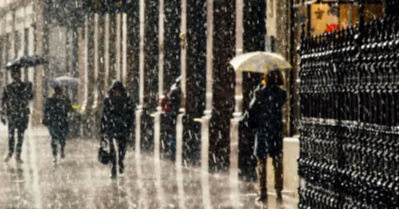
The Met Office has said when the UK should expect rain, as record temperatures were set and most of the country sweltered under intense heat. Temperatures provisionally reached 38.1C at Kew Gardens in London, making it the fifth hottest day on record for the UK.
Record temperatures and dry spell
Pershore in Worcestershire recorded highs of 38C, with a total of 40 locations across central and southern England recording temperatures of 36C or higher. The latest extreme heat also means 2026 has seen the most number of days reaching or exceeding 36C (four days) and 37C (three days), with it also equalling 2022 for seeing two days of 38C.
Met Office chief forecaster Neil Armstrong said: “This current spell of extreme heat is the latest in a remarkable summer. Numerous temperature records have been broken and we’ve seen an exceptionally dry season across much of England and Wales too.
“Temperatures will remain high overnight in the east, with a widespread tropical night likely where temperatures don’t fall below 20C.
“Friday will be a less hot day, with temperatures forecast to reach highs of 34C in the south east. Into the weekend temperatures could still hover over 30C in the south, with a gradual return to average over the next few days.”
Rain and thunder on the way
The hot temperatures saw some parts of the UK experience a heatwave for the fifth time this year, coming as large parts of the country remain in drought, with many more at risk of becoming so. However, the agency predicts that large parts of the country could see rain and even thunder in the coming days.
Deputy chief forecaster Steven Keates said: “Many people are desperate for some rain to alleviate the impacts of the prolonged dry spell.
“There is a chance of some thunderstorms developing in central and southeastern parts of England later on Friday into Saturday, however these are very uncertain.
“A front moving south eastwards across the UK on Monday and Tuesday could bring northern areas some rain but amounts of rain in the south will be small at most and the majority will fall over Northern Ireland and Scotland.
“The next meaningful rain forecast for these very dry areas could be towards the end of next week as an area of low pressure influences our weather from the southwest.
“The detail on this will become clearer over the coming days, so stay up to date with the forecast.”
Forecast for the coming days
The Met Office forecast for this evening said: “Cloudy with showers across Northern Ireland and Scotland, locally heavy with isolated thunderstorms, spreading southeastwards.
“Elsewhere, a hot and sunny evening then staying warm overnight with clear spells. Low cloud and coastal fog may develop towards the southwest.”
For Friday it continued: “Staying hot across much of England and Wales before a weak cold front brings cooler, cloudier weather in from the northwest. Isolated afternoon thunderstorms are possible in the east later.”
Looking ahead to the weekend, it added: “Saturday brings sunny spells and scattered showers, heaviest in the southeast. Sunday is mostly dry with sunshine, though rain reaching the northwest later. Monday sees increasing rain, with breezy conditions.”




