The Met Office has warned that an Atlantic trough will interact with a weakening frontal system, bringing a heavy band of rain and thunderstorms to parts of the UK on Saturday. The worst-affected areas are forecast to receive a 100mm drenching.
Heavy Rain and Thunderstorms Expected
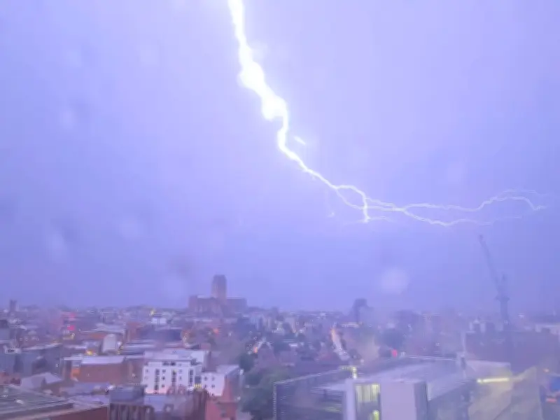
Violent thunderstorms will end the brief sunny spell on Saturday, forecasters say. Torrential rain is poised to sweep across the country, with the heaviest bursts across parts of west Scotland, such as Dumfries and Galloway, and parts of Northern Ireland, including Londonderry.
This follows a largely dry and pleasant week, during which temperatures reached 25.6C in Frittenden, Kent, and 27C in Teddington, southwest London. However, the Met Office says an Atlantic trough will collide with a weakening frontal system, resulting in rain and thunderstorms in places.
Worst-Affected Areas
Some 100mm of rain is expected to fall in the worst-affected areas, including Dumfries and Galloway and the Scottish Highlands. Some parts of Scotland typically see around 100mm of rain fall in an average September. Manchester, also expected to see rain on Saturday, usually experiences 76mm of rain in a standard September.
Thunderstorms, albeit with less rain, are anticipated across parts of the Southwest of England, south Wales and the West Midlands, forecasters believe. These areas have experienced humid conditions so far this week, with 23.2C recorded in Hurn, Dorset and 22.7C noted in Pershore, Worcestershire. Showers in these regions are most likely in the morning on Saturday.
Sunday Outlook and Next Week
Sunday's picture looks bleak too, particularly in these regions. South Wales will be particularly wet with a fresh band of low pressure sweeping in from the southwest on Sunday morning. By Sunday afternoon, it will have rained across most of the UK, but will be heaviest across Merseyside and Lancashire.
The Met Office states in its latest 10-day weather forecast: "Rain will reach the northwest later on Saturday before spreading across Scotland and Northern Ireland during Sunday. Ahead of the main rain band, heavy showers could develop across parts of southern Britain."
Southwest England, Wales and the West Midlands are among the areas that may see more substantial downpours, with a possibility of thunder. The Express reports the Met Office understands next week will be "increasingly wet and windy" too. A shift in the jet stream is anticipated to fuel the formation of areas of low pressure at the start of next week.
Despite the forecast, the authorities have not as yet issued any flood alerts or warnings. However, the first significant rain after the summer's heatwaves led to flooding last month, including incidents across Birmingham.