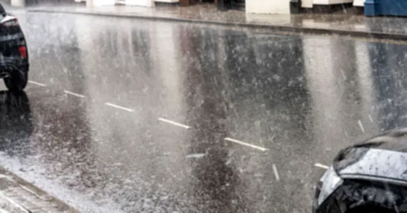
The Met Office has identified 94 areas across the UK that are expected to experience heavy rain over the August bank holiday weekend, with downpours forecast to spread across most of the country from Saturday morning.
After weeks of hot, dry weather that led to drought conditions in several regions, the outlook is changing. Rain is set to arrive in the west of the country early on Saturday and gradually extend to most parts of Britain, according to current Met Office maps.
Rain to spread from the South West
Cornwall, Devon, and south Wales are expected to be the first areas hit by heavy rain, before it moves across the Midlands, the South, and East of England, as well as throughout Wales and many parts of Scotland. Rain is likely to continue through Saturday and into Sunday, with some areas still wet on bank holiday Monday, August 31.

The affected areas in England include Cornwall, Somerset, Devon, Wiltshire, Gloucestershire, Hampshire, East Sussex, West Sussex, Surrey, Greater London, Essex, Kent, Suffolk, Norfolk, Cambridgeshire, Oxfordshire, Berkshire, Buckinghamshire, Hertfordshire, Bedfordshire, Northamptonshire, Rutland, Worcestershire, Warwickshire, Herefordshire, Shropshire, Staffordshire, Leicestershire, Nottinghamshire, Lincolnshire, Derbyshire, Cheshire, Merseyside, Greater Manchester, West Yorkshire, South Yorkshire, and North Yorkshire.
Scotland, Wales, and Northern Ireland affected
In Scotland, the list includes Wigtownshire, Kirkcudbrightshire, Dumfriesshire, Roxburghshire, Selkirkshire, Berwickshire, Peeblesshire, Lanarkshire, Ayrshire, Renfrewshire, Midlothian, East Lothian, West Lothian, Buteshire, Dunbartonshire, Stirlingshire, Clackmannanshire, Kinross-shire, Fife, Perthshire, Argyll, Angus, Kincardineshire, Aberdeenshire, Banffshire, Moray, Nairnshire, Inverness-shire, Ross and Cromarty, Sutherland, and Caithness.
Wales is also widely covered, with Pembrokeshire, Carmarthenshire, Swansea, Neath Port Talbot, Bridgend, Vale of Glamorgan, Cardiff, Rhondda Cynon Taf, Merthyr Tydfil, Caerphilly, Blaenau Gwent, Torfaen, Newport, Monmouthshire, Powys, Ceredigion, Wrexham, Flintshire, Denbighshire, Conwy, Gwynedd, and the Isle of Anglesey all named. In Northern Ireland, County Derry and County Tyrone are expected to see rain.
Unsettled conditions into September
The Met Office says low-pressure systems will continue to bring rain and heavy showers across many areas over the weekend. Temperatures are expected to be near average, with warmer periods in sunnier moments. From Monday and into the first nine days of September, conditions are likely to remain unsettled, with showers or longer spells of rain across all areas at times.
“Rainfall amounts will probably be above average for the time of year with the wettest conditions in the northwest,” the forecast reads. “Potential for some strong winds at times. Some drier and more settled interludes could develop, perhaps becoming longer in duration across southern areas later in this period. Temperatures are likely to be near average, although some short-lived warm or very warm spells are possible, especially in the south.”
The wet outlook follows a record-breaking summer of heatwaves, when temperatures came close to 40C at peak times. The conditions led to several areas declaring droughts and enforcing hosepipe bans. Prime Minister Andy Burnham also decided to enforce a temporary ban on portable BBQs as the risk of wildfires increased across the country. Current Met Office maps show temperatures peaking at around 23C this weekend, dropping to around 13C in some areas in the early hours.