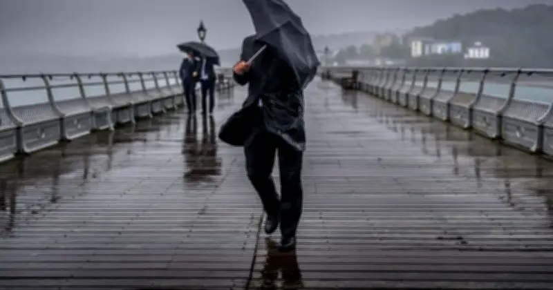
Unsettled conditions are set to sweep across the UK on Wednesday, with the Met Office warning of "substantial rain" for several parts of the country. The National Weather Agency says the heaviest rainfall is likely to affect areas around East Anglia, south-east England and London, where totals could exceed 50mm in some locations.
The wet weather follows a dry day for many parts of England on Tuesday, with temperatures between 15 and 16C. However, conditions are expected to turn chilly from late Tuesday night, with heavy rainfall impacting several areas by Wednesday morning.
Met Office forecast for Wednesday
Sharing the outlook for Wednesday, the Met Office said: "Outbreaks of sometimes heavy rain across England and Wales will gradually becoming confined to southeast England on Wednesday. Elsewhere sunny spells, though a chilly wind and some blustery showers developing."
Alex Burkill, a meteorologist with the Met Office, said: "As we move through Wednesday, some heavier bursts of rain are likely, along with spells of particularly persistent rainfall across eastern and south-eastern England."
He added: "Before then, conditions will remain fine for a time across southern England, although cloud and rain will gradually build from the south. Rain will also continue across parts of central and northern England, as well as Wales, while further showers are expected across northern and western Scotland and Northern Ireland. In these areas, fresher air and clear spells between the showers will help temperatures fall overnight. A touch of frost is likely in some rural locations, while more built-up areas should remain a few degrees above freezing."
Rain totals and temperature drop
"Further south, however, cloud and rain will keep temperatures relatively mild, with much of England and Wales remaining in double figures overnight," Burkill continued. "Wednesday will begin cloudy and wet for many parts of England and Wales. The rain will gradually shift eastwards and southwards, becoming heavier in places. The most significant rainfall is expected across East Anglia, south-east England and the London area, where totals could exceed 50mm in some locations. This would represent a substantial amount of rain and more than many of these areas have seen for some time."
"Elsewhere, showers will continue to move in from the north-west, mainly affecting northern and western Scotland, but also parts of Northern Ireland and western areas of England and Wales. There will be brighter intervals between the showers, with some sunshine at times, although cooler air moving in will result in temperatures being a couple of degrees lower than on Tuesday. Across some southern and south-eastern areas, temperatures could be 5C to 8C lower than the previous day, bringing a noticeably fresher and more autumnal feel."
Areas affected and outlook
The Met Office also posted on X: "Heavy rain moving across eastern and southeastern England through much of Wednesday. Parts of Lincolnshire, The Wash and Norfolk will see heavy showers during the morning. Rain turns heavy across Sussex, Kent and Essex later. Some places seeing 40-60 mm in as little as 3 hours."
"The rain across the south-east will eventually clear, although this is not expected until the evening in some places. While a few showers may linger into the end of the day, conditions will generally become drier as a ridge of high pressure begins to build in," Burkill said.
The full list of areas affected by rain on Wednesday includes London, Surrey, West Sussex, East Sussex, Hampshire, Berkshire, Oxfordshire, Cambridgeshire, Northamptonshire, Bedfordshire, Suffolk, Norfolk, Manchester, Derbyshire, Staffordshire, Lancashire, Cheshire, Leicestershire, Devon, Cornwall, Somerset, Dorset, Isle of Wight and Gloucestershire.