
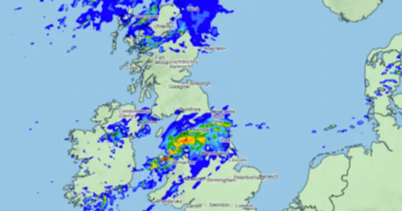
The Met Office has confirmed that many areas of the UK will see a wet weekend, with rain sweeping across parts of England, Scotland, Wales and Northern Ireland. Its latest weather maps show rain moving in from the Atlantic, first hitting Ireland before reaching the UK. While some patches of rain appear over the UK on Friday, Saturday is when it becomes more widespread.
20 areas named for heavy rain
The areas set to be hit with rain, which will be as heavy as 8mm per hour in some parts, are:
England: Staffordshire, Derbyshire, Nottinghamshire, Lincolnshire, Cheshire, Merseyside, Greater Manchester, South Yorkshire, East Riding of Yorkshire, North Yorkshire, County Durham, Cumbria, Tyne & Wear.
Wales: Isle of Anglesey, Gwynedd, Conway, Denbigshire, Flintshire, Wrexham, Ceredigion.
Weather maps show small patches of relatively light rain hitting parts of Scotland and Northern Ireland. The rain looks like it will mostly clear by Sunday, with most of the country experiencing dry weather.
Forecast for the rest of the weekend
The Met Office has said the rest of this week will be relatively dry for a lot of the UK, with rain and wind arriving this weekend, Saturday, October 3 and Sunday, October 4. Its current forecast reads: "Showers affect northern and western areas at times, staying drier further south. Windy, especially in the north and west. Temperatures [will be] near average further north and above average in the south."
Despite the rain, it will be relatively warm. From Sunday onwards, the Met Office says there will likely be high pressure in place over the southern UK for a few days. "This means plenty of dry weather to be had here, albeit with some chilly nights and overnight and morning fog in places," the forecast reads. "In the north, a rather more changeable pattern will continue, with occasional rain and windy conditions at times."
Outlook to mid-month
The forecast adds: "Broadly changeable weather patterns look to continue through to mid-month, with ridges of high pressure extending from the southwest, interspersed by Atlantic frontal systems. These could be associated with quite deep and fast-moving depressions, bringing the potential for windy weather more widely, but perhaps more likely in the north and east."
"Temperatures [are] probably near or slightly above normal overall, but with some day-to-day oscillations."




