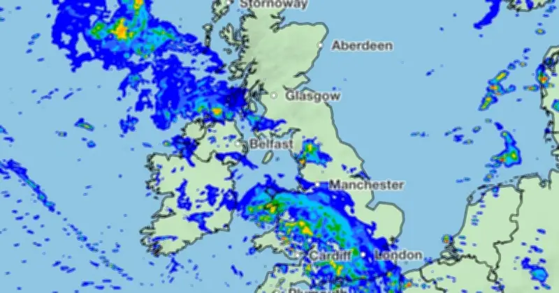
Met Office weather maps show 102 regions across the UK will see some form of rain on Saturday, August 29, with heavy downpours expected for millions as the Bank Holiday weekend gets off to a wet start.
Those in Manchester, London, and Sheffield will see some of the heaviest rain as Brits celebrate the last long weekend before Christmas.
Forecast for Saturday
“Low pressure systems will continue to bring rain and heavy showers across many areas through this period,” the Met Office forecast for Saturday said. “Temperatures trending nearer to average, but feeling warm in the sunnier moments.”

Temperatures on Saturday will hit a high of 21C in the south east, while the rest of England, Scotland, and Wales will see the mercury in the high teens. In Northern Ireland, 17C is the top temperature.
Rain bands and affected areas
Multiple bands of rain are set to sweep across the country from the south west, and move slowly across England and Wales in the early morning. Although clouds will dissipate by the early afternoon, where there are showers, they will be heavy.
In total, 47 English counties will see some form of rain, as will 21 Welsh, 28 Scots, and six Northern Irish.
Recent thunderstorm activity
The wet weather follows two yellow thunderstorm warnings on Thursday (August 27), affecting much of England and all of Wales. Thunderstorms brought flooding to Birmingham and the Midlands on Wednesday (August 26) evening, as more than an inch of rain fell on the city in an hour.
No warnings are in place for Saturday, at the time of writing.