
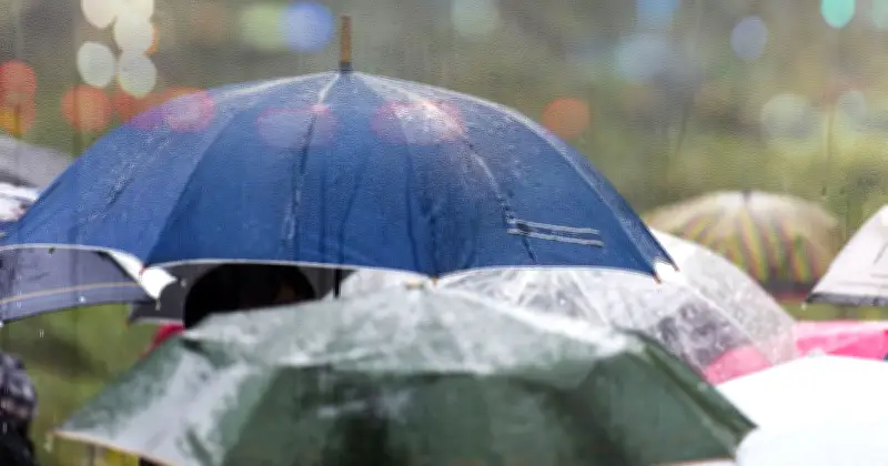
The Met Office has forecast rain for 10 UK areas on Saturday as the current heatwave draws to a close. Temperatures are expected to drop from Friday, with conditions closer to average across most of the UK and slightly below average for northern Scotland.
Showers likely in northern parts
According to a Met Office spokesperson, showers on Saturday are most likely to hit northern and western Scotland, with some possible in northern England and Northern Ireland. The showers are expected to be fairly scattered rather than widespread.
Further south, including much of England and Wales, Saturday is expected to stay largely dry with warm sunny spells developing. The Met Office cautioned that the exact location and extent of showers may change, advising people to keep up to date with the latest forecast.
Drought conditions persist
Over the next couple of weeks, the UK is likely to see more rain, but this will not balance the shortfall. The Environment Agency announced that seven areas of central, eastern and southern England are now officially in drought following record low rainfall and high temperatures. July saw just 7% of expected rainfall levels, with only 1% across southern England.
Mark Sidaway, Deputy Chief Forecaster, stated: "The forecast is showing potential for more rain than much of the UK has experienced over the last few weeks. However, it looks as though amounts of rain for many will be fairly modest, and won't balance out the shortfall that we have recorded this summer. It’s still possible that some areas of the south will miss out and see little or no rainfall."
10 areas facing rain on Saturday
- Scottish Highlands
- Caithness
- Sutherland
- Ross-shire
- Moray
- Argyll
- Inner Hebrides
- Outer Hebrides
- Orkney
- Shetland




