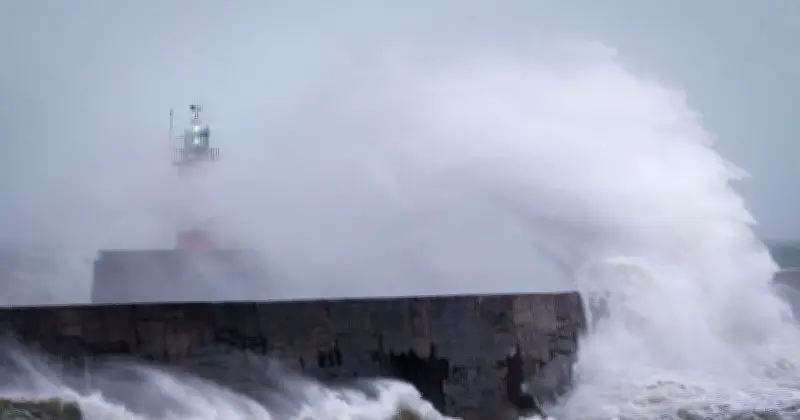
The Met Office has issued a new 12-hour yellow weather warning for Friday, with winds expected to reach as high as 60mph across parts of southern England and Wales. The warning, in place from midnight until 12pm on Friday (October 23), covers 38 areas and also includes periods of heavy rain that forecasters say could make travel more difficult.
Strong west to northwesterly winds are forecast to spread across the region, with gusts of 50-60mph possible. Some coastal or exposed areas could see winds of 70mph or more, though forecasters note there is uncertainty in where the strongest winds will be.
Warning details and impacts
The Met Office has rated the warning as having a low likelihood of occurring, at between 10% and 25%, but with the potential for significant impacts. There is a slight chance of damage to buildings, including tiles being blown from roofs, as well as a small chance of injuries and danger to life from flying debris.
Road, rail, air and ferry services could also be affected, potentially resulting in longer journey times or cancellations, while some roads and bridges could close. There is also a slight chance of power cuts, which could affect other services including mobile phone coverage.
Coastal hazard and low pressure system
Coastal locations could face an additional hazard from large waves, with beach material potentially being thrown onto seafronts, coastal roads and properties. The warning comes as the Met Office tracks a developing area of low pressure that could cross the UK overnight on Thursday and through Friday.
Deputy Chief Forecaster Tom Crabtree said: "An area of the forecast we're particularly focusing on is the development of a potentially deep area of low pressure that could cross the UK overnight on Thursday and through Friday."
"It has the potential to bring some strong winds, though the location of the strongest winds will be determined by the low position. At this stage, people should keep an eye on the forecast and be prepared for some unsettled weather at the end of the week."
Areas covered and outlook
Friday is expected to be widely wet and windy, with the low pressure forecast to clear into the North Sea later in the afternoon. This is expected to pull colder air across the UK for a time on Friday night into Saturday before another Atlantic front brings milder air and further rain.
The 38 areas covered by the yellow weather warning include London & South East England (Brighton and Hove, East Sussex, Hampshire, Isle of Wight, Portsmouth, Southampton, West Sussex), South West England (Bath and North East Somerset, Bournemouth Christchurch and Poole, Bristol, Cornwall, Devon, Dorset, Gloucestershire, Isles of Scilly, North Somerset, Plymouth, Somerset, South Gloucestershire, Torbay, Wiltshire), Wales (Blaenau Gwent, Bridgend, Caerphilly, Cardiff, Carmarthenshire, Ceredigion, Merthyr Tydfil, Monmouthshire, Neath Port Talbot, Newport, Pembrokeshire, Powys, Rhondda Cynon Taf, Swansea, Torfaen, Vale of Glamorgan) and West Midlands (Herefordshire).