
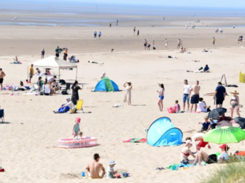
The Met Office has shared when scorching hot conditions will return to Merseyside. After a brief cooldown with temperatures around 18C and some showers, the region is set to warm up significantly at the start of next week.
Forecast for Liverpool
According to the Met Office forecast, temperatures of 27C are expected in Merseyside on Tuesday, August 11, with even hotter conditions the following day, peaking at 28C on Wednesday, August 12. These temperatures are part of a broader heatwave predicted for parts of the UK.
Our sister site, Wales Online, reports that forecasters have predicted a heatwave to hit parts of Wales next week. For many parts of Wales, temperatures need to be higher than 25C across three consecutive days to qualify as a heatwave. The Met Office forecast suggests temperatures will start to exceed this threshold in Wales on Sunday and continue into the beginning of next week.
Heatwave criteria
For Merseyside, the forecast does not extend to Thursday, August 13. However, the BBC forecast predicts temperatures of 24C in Liverpool on that day, which falls just short of the heatwave criteria.
Temperatures are expected to steadily increase over the next few days in Liverpool, with a dry, hot day on Saturday, peaking at 24C. The outlook for Saturday to Monday adds: "A dry start to the weekend, with sunny spells the odd shower by Sunday. Turning warm on Saturday, but temperatures will slowly decrease into next week."
Long-range outlook
The Met Office predicts above-average temperatures for the UK in its long-range forecast for August 11-20. It states: "A settled start, with mainly dry conditions on Tuesday, although with scattered showers across western areas. Then through the week, more changeable conditions are likely across northern parts, with some spells of rain or showers and stronger winds, interspersed by drier periods.
"Whilst southern areas will generally see more settled, drier conditions where it will become very warm or hot. Further into August, lower pressure may start to track further south or east. This means there is a greater chance of frontal systems or thundery interludes to affect southern and eastern areas in comparison to recent weeks, though rainfall amounts could be quite variable with some areas still seeing relatively little. Temperatures look to remain above average, especially in the south, where perhaps very warm or hot."
The long-range forecast for August 21 to September 4 adds: "The broad theme of high pressure remaining in place at least close to the UK seems most probable, with occasional more unsettled or changeable interludes, either resulting from Atlantic frontal systems or thundery plumes. This means that rainfall amounts overall are more likely to be below normal than above. Temperatures will probably be above average and some spells of hot weather and heatwaves are possible, especially in the south."




