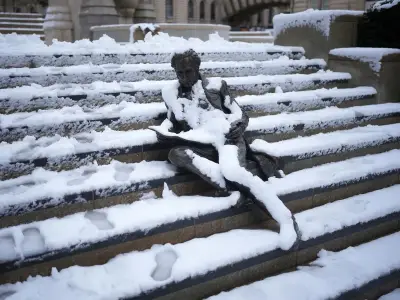
Snow is forecast to fall over higher ground in the Scottish Highlands on Saturday morning as colder air moves across the UK, according to Met Office maps generated on October 9.
The first pockets of snow are expected to appear around 6.45am on Saturday, October 10, concentrated around the Kingussie and Cairngorms areas as showers sweep across Scotland. The patches shown are highly localised, with larger areas of Scotland instead forecast to receive rain.
Wintry showers and wind
Snowfall rates in the affected area could reach up to 4mm an hour, with further pockets of snow possible as the morning progresses. The forecaster said the weekend could bring a "brief hint of winter across some northern hills, as colder air, brisk winds and lively showers move across the country."
Saturday is expected to be the more unsettled of the two weekend days, with showers affecting large parts of the country and strong winds making it feel cooler than temperatures would suggest. The most frequent and intense showers are expected across northern Britain, with Scotland particularly exposed.
The Met Office said: "Scotland will be particularly prone to heavy showers, with a risk of hail and thunder. There could even be a temporary sprinkling of snow over the highest ground, adding a wintry flavour to the autumn weather."
Regional outlook and Sunday improvement
The description of a "temporary sprinkling" reflects the limited extent of the snow, largely restricted to the highest ground. Elsewhere, most places could see a shower at some stage on Saturday, although southern and southeastern England are expected to be somewhat sheltered by the north-westerly airflow, giving these areas the best prospect of longer and brighter spells.
A brisk north to north-westerly wind will add to the colder feel. Temperatures are generally forecast to remain around average for October, or slightly below in some areas, but the wind will make it feel noticeably chillier. Across northern areas exposed to both showers and wind, temperatures could feel "closer to the high single figures."
Further showers will continue into Saturday evening before gradually becoming less frequent as a ridge of high pressure builds across Britain. Some showers could linger overnight, particularly around coastal areas and parts of northern and central England, while clearer skies become increasingly widespread.
Sunday and next week
Conditions are expected to improve substantially on Sunday, which the Met Office says should be the better day of the weekend for many. Winds will gradually ease through Sunday morning, with far fewer showers, allowing large parts of the country to enjoy a dry day with sunny spells.
Despite temperatures remaining broadly similar to Saturday, lighter winds and increased sunshine should make conditions feel more pleasant. However, wet and windy conditions are expected to begin returning from the west later on Sunday as low pressure approaches, heralding another spell of more unsettled weather for the start of next week.