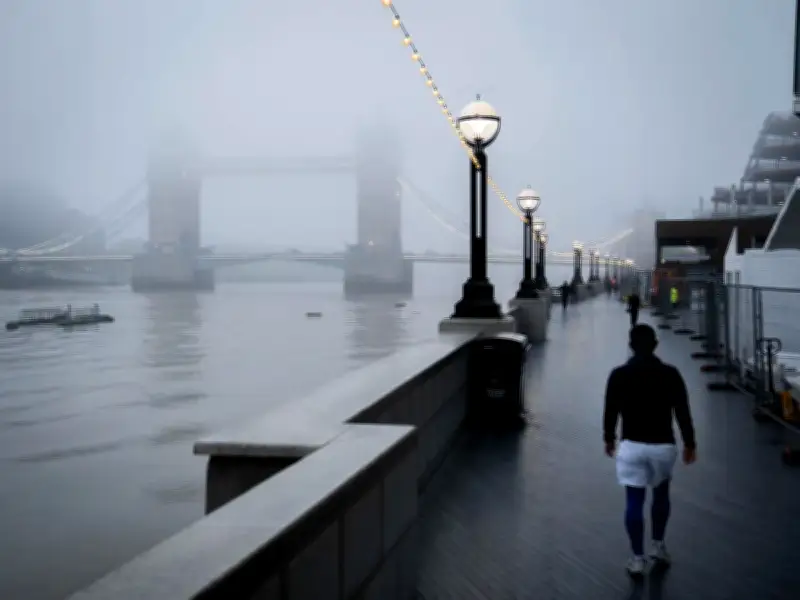
The Met Office has issued a yellow weather warning for dense fog across 28 areas of the UK this morning, with visibility expected to drop below 100 metres in places. The warning is in force until 10am today, affecting mainly central parts of England, stretching from Surrey to Lincolnshire.
Fog to Disrupt Morning Commute
The national weather agency states: "Fog, dense in places with visibility below 100 metres at times, will slowly begin to thin, lift and clear later this morning or, in some rural spots in eastern England, not until this afternoon. The most extensive and disruptive fog will be during the morning rush hour."
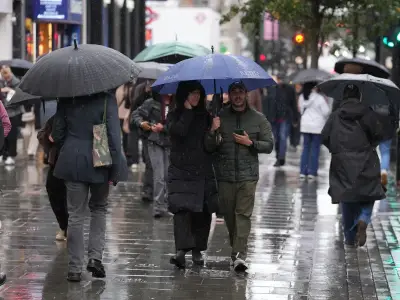
BBC weather forecaster Sarah Keith-Lucas says: "We have entered a quieter spell of autumnal weather after the stormy conditions earlier in the week we have got some dry weather, much lighter winds and some mist and fog around as well. Fog could be quite dense and slow to clear across central and eastern England, perhaps east Wales but it looks as though eventually by the afternoon we will see a return to those sunny skies with temperatures between 13C to 16C."
Travel Delays Expected
The Met Office warns of "slower journey times with delays to bus and train services" and "delays or cancellations to flights." It advises: "Give yourself the best chance of avoiding delays by checking road conditions if driving, leaving extra journey time, or amending plans if necessary. Make sure you know how to switch on your fog lights, and check they are working before setting off on your journey. Bus and train services, as well as flights and ferry travel, may also be affected; check for updates from your travel company, and follow their advice."
Giving an outlook for the day, the Met Office says: "Fog slowly clearing, though it may linger into the afternoon in places. Otherwise largely bright with some sunny spells and feeling mild. Breezier in the northwest, with rain possible across northwest Scotland."
Recent Wet Weather Context
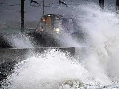
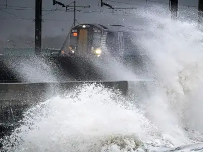
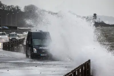
The fog warning follows England's wettest week for two years, with storms Austen and Boelo bringing heavy rain. An average of 55mm of rain fell across England in the seven days to October 27, with as much as 76mm in the North West and 87mm in the South West. River levels have increased in many areas, with the Dart at Austins Bridge near Buckfastleigh in Devon classed as "exceptionally high."
Much of the country remains officially in drought, however, with a severe drought in place across parts of the South West and Sussex. The Environment Agency said the impact of Austen and Boelo led to England seeing its wettest week since October 2024. The downpours mean England has now received 11% more rainfall than the long-term average for October.
Areas Affected by Fog Warning
The 28 areas covered by the warning include:
- East Midlands: Leicester, Leicestershire, Lincolnshire, Northamptonshire, Nottinghamshire, Rutland
- East of England: Bedford, Cambridgeshire, Central Bedfordshire, Essex, Hertfordshire, Luton, Norfolk, Peterborough, Suffolk
- London & South East England: Bracknell Forest, Buckinghamshire, Hampshire, Milton Keynes, Oxfordshire, Reading, Slough, Surrey, West Berkshire, Windsor and Maidenhead, Wokingham
- West Midlands: Warwickshire, West Midlands Conurbation