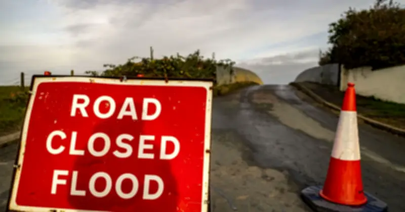
The Met Office has warned that thunderstorms could bring flooding, power cuts and travel disruption to 73 areas of the UK on Thursday. Yellow weather warnings have been issued for England and Wales, with the first batch in effect from 3am on Wednesday until 10pm, and a second set covering even more areas from 6am on Thursday.
Areas at risk
Regions facing heavy rain, thunderstorms, lightning strikes and possible flash flooding include London, Manchester, Stoke, Liverpool, Nottingham, Leeds, Sheffield, Milton Keynes, Oxfordshire, Swindon, Windsor and much of Wales.
The Met Office is advising households to prepare for possible power loss and flooding by making a flood plan, assembling an emergency kit and gathering essential items such as a mobile phone battery pack, torches and batteries.

Forecast details
In its warning, the Met Office said: "A broad band of thunderstorms and heavy rain will move north across England and Wales, perhaps becoming slow moving in the afternoon and evening. Accumulations of 20-30 mm in three hours can be expected fairly widely and up to 50 mm in a 12 hour period can be expected in places."
It added: "There is a small chance that some places may see more than 50 mm in three hours and more than 75 mm through 12 hours, especially over east facing high ground. Lightning and hail of 1-2 cm will also be hazards and, in a very few places, strong gusts may also present a hazard, these most likely in the south of England early on Thursday morning."
Advice to the public
The Met Office advised: "Consider if your location is at risk of flash flooding. If so, consider preparing a flood plan and an emergency flood kit."
It continued: "Give yourself the best chance of avoiding delays by checking road conditions if driving, or bus and train timetables, amending your travel plans if necessary. People cope better with power cuts when they have prepared for them in advance. It's easy to do; consider gathering torches and batteries, a mobile phone power pack and other essential items."
Full list of 73 areas
The 73 areas covered by the yellow weather warning for thunderstorms and at potential risk of flooding are: Derby, Derbyshire, Leicester, Leicestershire, Lincolnshire, Northamptonshire, Nottingham, Nottinghamshire, Rutland, Bedford, Cambridgeshire, Central Bedfordshire, Essex, Hertfordshire, Luton, Norfolk, Peterborough, Suffolk, Buckinghamshire, Milton Keynes, Oxfordshire, Blackburn with Darwen, Blackpool, Cheshire East, Cheshire West and Chester, Cumbria, Greater Manchester, Halton, Lancashire, Merseyside, Warrington, Bristol, Gloucestershire, North Somerset, South Gloucestershire, Swindon, Wiltshire, Blaenau Gwent, Bridgend, Caerphilly, Cardiff, Carmarthenshire, Ceredigion, Conwy, Denbighshire, Flintshire, Gwynedd, Isle of Anglesey, Merthyr Tydfil, Monmouthshire, Neath Port Talbot, Newport, Pembrokeshire, Powys, Rhondda Cynon Taf, Swansea, Torfaen, Vale of Glamorgan, Wrexham, Herefordshire, Shropshire, Staffordshire, Stoke-on-Trent, Telford and Wrekin, Warwickshire, West Midlands Conurbation, Worcestershire, East Riding of Yorkshire, North Lincolnshire, North Yorkshire, South Yorkshire, West Yorkshire and York.
The warnings remain in force as the Met Office continues to monitor the potential for disruption across the affected regions.