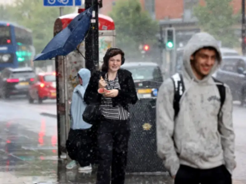
The Met Office has extended its yellow thunderstorm warning for Greater Manchester, with the start time brought forward by one hour as 17 hours of wind and rain are set to batter the region.
A broad band of thunderstorms and heavy rain will move north across England and Wales on Thursday (August 27), perhaps becoming slow moving in the afternoon and evening. Accumulations of 20-30mm in an hour is possible locally, while 30mm to 40mm can be expected fairly widely and up to 50mm in a 12-hour period in places.
Warning area expanded east
In a new update, the Met Office confirmed that the warning area has been expanded east a little, wind gusts as a hazard have been removed, and the start time has been brought forward by one hour. The warning is in effect between 5am and 10pm on Thursday and will hit Greater Manchester, as well as other North West areas such as Lancashire, Cheshire East, Cumbria, Merseyside and Warrington.

There is a small chance that some places may see more than 50mm in three hours and more than 75mm through 12 hours, especially over east facing high ground. Lightning and hail of 1-2cm will also be hazards.
Flood risk and advice
The Met Office has provided advice for those worried about the weather conditions. On their website they penned: "Consider if your location is at risk of flash flooding. If so, consider preparing a flood plan and an emergency flood kit."
"Give yourself the best chance of avoiding delays by checking road conditions if driving, or bus and train timetables, amending your travel plans if necessary."
The weather service said there is a "small chance of fast-flowing or deep floodwater causing danger to life". It added there was also a small chance that homes and businesses could be flooded quickly, with damage to some buildings from floodwater, lightning strikes, hail or strong winds.
Met Office Chief Forecaster Steve Willington said: "On Thursday, slow-moving heavy and thundery rain may bring prolonged rainfall to some areas, increasing the risk of localised impacts."
"There remains some uncertainty around where the heaviest rain will fall, so it is important to keep up to date with the latest forecast and warnings."