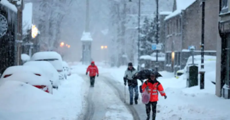
Severe wintry conditions could hit the UK before the end of the year, weather experts have warned, as they continue to highlight the potential influence of the El Niño weather pattern on global climate conditions.
El Niño and the polar vortex
The Met Office has warned that El Niño could play a role in weakening the polar vortex, a high-altitude band of powerful winds that circulates around the Arctic. Such disruptions can sometimes lead to Sudden Stratospheric Warming (SSW) events, which are known to alter weather patterns and increase the chances of colder conditions developing across the UK.
A similar atmospheric setup was associated with the notorious "Beast from the East" in 2018, when freezing temperatures and heavy snowfall brought widespread travel disruption and severe winter weather to large parts of the country.
Snow chances in Scotland
Despite concerns over the potential for a colder winter later in the season, forecasters do not currently expect an early surge of Arctic air to reach the UK this month.
Weather models suggest there is a chance of snow developing across parts of Scotland around the middle of October, particularly in higher elevations where accumulations of up to 5cm (around two inches) are possible, reports Liverpool Echo. However, any wintry conditions are expected to remain largely confined to mountainous areas.
Outlook for late October
The Met Office forecast between October 21 and November 4 reads: "The remainder of October and into early November will probably maintain a changeable pattern overall, with areas of low pressure often passing close to the UK from the North Atlantic, interspersed by occasional ridges of high pressure.
"As such, showers or longer spells of rain are likely at times, with the wettest and windiest weather typically in the west and northwest, driest conditions more favoured in sheltered southern and eastern parts. A trend to more widely unsettled conditions is possible into November."
Forecasters at BBC Weather have offered fresh insight into the UK's prospects for an early taste of winter, suggesting that widespread cold conditions are unlikely to dominate as October moves towards its final weeks. In its outlook covering the period from October 19 to November 1, the broadcaster's weather team indicates that much of the country is expected to remain under relatively settled conditions, reducing the likelihood of a significant nationwide cold spell.
Mild and settled end to October
The forecast points towards drier-than-average weather across large parts of the UK, with southern regions particularly favoured for lower rainfall totals than would normally be expected at this time of year. As a result, many areas could experience prolonged dry spells and generally stable conditions.
However, forecasters warned that the weather is unlikely to remain completely calm everywhere. Intermittent frontal systems are expected to track across northern parts of the country at times, bringing wetter and more unsettled conditions. Scotland is among the areas most likely to see the greatest rainfall, with occasional outbreaks of rain interrupting otherwise quieter weather.
Despite the relatively mild outlook, there are signs that autumn will continue to make its presence felt. BBC Weather said some locations could experience chilly nights and patches of fog, particularly during clearer and calmer periods. These conditions are typical of the season and may lead to cooler starts to the day in some areas.
Even so, temperatures are not currently forecast to fall significantly below average. Instead, forecasters expect temperatures across the UK to remain largely near normal for the time of year, with values potentially sitting slightly above average in some regions. Overall, the outlook suggests a predominantly mild and settled end to October rather than the arrival of an early winter freeze.
The forecast adds: "There is no sign yet of any set up that might lead to a risk of an early cold Arctic outbreak. There is a chance of an alternative outcome where high pressure shifts farther away, allowing low pressure systems closer to the UK, with a wetter and windier but mild outcome."