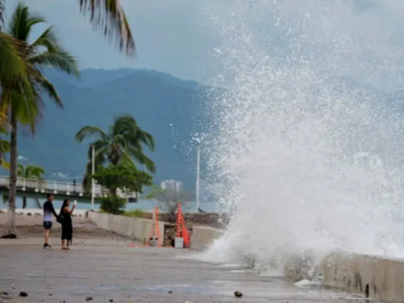
Hurricane Simon pummelled Mexico's Pacific coastline on Sunday, October 12, with an expert warning of catastrophic wind and life-threatening storm surge impacts along the west-central coast.
The Category 4 storm's centre swirled parallel to the coast, closing in on the Puerto Vallarta area, where its most damaging winds and rain were expected to hit around midnight and continue through Monday morning.
Storm track and strength
It is not clear if the hurricane will make landfall, the US National Hurricane Center said, which could enable it to maintain its dangerous strength, sustaining winds of 140 mph (220 kph).
By midday Sunday, the eye was moving within about 65 miles (100 kilometres) of Cabo Corrientes at about 7 mph (11 kph).
Expert warning and risks
A senior hurricane center specialist, Phillipe Pappin, said this westernmost tip of mainland Mexico is the area most likely to get a direct hit from the system.
"We're expecting catastrophic wind and life-threatening storm surge impacts along that west-central coast of Mexico where the hurricane warning is currently in effect," Pappin said.
"They're also getting very heavy rainfall associated with the storm that's likely going to produce life-threatening flooding and mudslides in areas of higher terrain along the Mexican coastline, and there will be significant swells."