
Nearly every part of England remains under a heat health alert, with only the North East spared. Temperatures are expected to peak at 35°C in the South East today, surpassing forecasts for the Greek islands of Mykonos, Rhodes and Santorini.
Amber alerts are in effect in London, the South East, the East of England and the East Midlands until Wednesday, according to the UK Health Security Agency. The North West, Yorkshire and Humber, the West Midlands and the South West are under yellow warnings.
Hospitals and power grid under strain
The amber warnings signal that health and social care services will face 'significant' strain, with hospitals and care homes at risk of becoming too hot to cope. Blackouts are possible if power demand exceeds capacity, and the alerts also warn of a potential rise in drownings and cold-water shock.
Met Office forecaster Marco Petagna said Monday would be the 'peak of the heat'. "Temperatures do come down a little bit, we're still talking 28 to 30°C on Tuesday," he added. "Again, the South East and East Anglia we're seeing the highest temperatures on Tuesday, so not as extreme as tomorrow, but still well above average."
He added that by Wednesday the South East could see highs of 26°C or 27°C. "But it's a gradual cooling down process through the week, and always cooler towards the North and West in any case, high teens, low 20s, but certainly central and South East England seeing hot weather returning briefly, and a lot of sunshine to come in the South East as well."
Rain arrives after driest July on record
Rain is finally forecast to return, with the Met Office predicting rainfall in every part of Scotland, Wales and Northern Ireland from the early hours of Tuesday. Scotland and Northern Ireland are likely to see the heaviest downpours, with weather warnings possible. Only odd parts of England will see rain in the coming days, though the north could be drenched by up to 2mm on Thursday morning.
The Met Office forecast said: "Outbreaks of heavy rain in the north today with a risk of thunder. Scattered showers in the south with the odd thunderstorm. Very warm and humid. Windy in the north." It added: "Rather unsettled in the north over the next few days with rain or showers. Some showers in the south at first, but turning drier from Thursday."
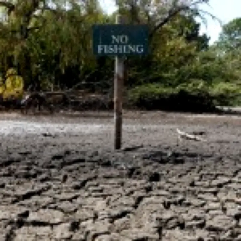
Last month was the driest July the UK has seen in 190 years, according to the Met Office, with more than half of England and all of Wales in drought. England recorded just 5.6mm of rain – less than half the previous record of 13.4mm set in 1911. Three heatwaves have led to wildfires and the resurfacing of centuries-old gardens.
Until the rain arrives, Polly Ashmore of the UKHSA said people, especially the elderly and vulnerable, need to be prepared for a few more days of heat. She added: "Simple steps such as staying hydrated, avoiding the sun during the hottest part of the day, and keeping your home cool are some of the key ways to help keep yourself and others safe during periods of hot weather."




