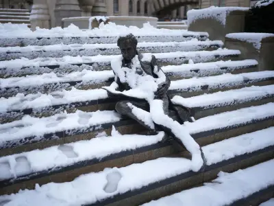
The Met Office has forecast a "changeable" period of weather for the UK, with temperatures in Greater Manchester expected to drop as low as 6C over the coming week. The agency has also warned that parts of the country could see "frost" over the weekend.
This comes after a record-breaking summer of heat and a lack of rainfall, which has left 11 UK areas in drought conditions, despite recent rainfall. Yorkshire was the latest area to enter a drought, with Greater Manchester remaining in 'prolonged dry weather' - the stage before a drought.
Met Office forecasts 'smorgasbord' of weather types
Over the next few days, the UK is set to see a "smorgasbord" of weather types, according to the Met Office, ranging from "relatively balmy" to "relatively cool". The UK weather agency has stressed this is expected from the weather in autumn.
"The next few days will bring a smorgasbord of weather types, with swings from relatively balmy conditions to relatively cool," a Met Office spokesperson said. They continued: "All typical of the variability we can expect with autumnal weather."
Temperatures to dip over the weekend
As Saturday, October 10, began with a scattering of showers feeding in from the north and west, Met Office chief forecaster Andy Page said: "Some of these showers will bring larger rainfall totals, mainly in north-western parts of the UK.
"Temperatures in the south – especially in longer spells between showers – will reach around 15C. Clearing skies during Saturday evening – courtesy of a transient ridge of high pressure – will bring cooler conditions overnight, with the possibility of frost in more prone spots in northern parts of the UK.
"On Sunday, many locations will have a dry and bright day with sunny spells, and any remaining showers will fade away."
Gales possible on Monday night
Met Office deputy chief forecaster Mike Silverstone added: "Monday is likely to be influenced by a frontal system spreading from west to east across the UK, bringing thicker cloud and some outbreaks of rain.
"A deepening area of low pressure to the North West of the UK brings the prospect of gales along coasts and over high ground in northern and western parts of the UK for Monday night, which is partly driven by a strong and active jet stream.
"Currently, however, these conditions are not likely to result in the need for severe weather warnings."
Coldest conditions expected in early hours
Met Office weather maps show temperatures in Greater Manchester dropping as low as 6C next week, with the coldest conditions expected in the early hours of Saturday, October 17. Before then, Sunday morning (October 11) is expected to reach lows of around 8C in Greater Manchester - the coldest conditions forecast in Rochdale.
Long-range forecast points to wetter conditions
The long-range forecast for the UK, which covers the period between October 14 and 23, says that conditions could be "potentially quite warm" in parts of the country.
"Remaining changeable through this period, as a series of low pressure systems run across the North Atlantic, often to the north and northwest of the UK, bringing occasional bands of rain and strong winds, but interspersed with brighter and more showery conditions," the Met Office long-range forecast reads.
It continues: "Rain will be most prevalent across hills in the west and especially northwest, where above average rainfall is likely through this period. Longer drier interludes are more favoured in sheltered southern and eastern parts, but even here it is likely to be wetter than during recent weeks.
"Whilst brief cooler interludes are possible, temperatures are likely to be a little above average in many areas for the period as a whole, and potentially quite warm in parts of the southeast at times."