
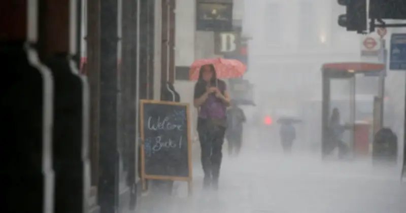
The Met Office has named 28 areas in England and Scotland that are forecast to see heavy rain on Friday, as wintry conditions make a return after a week of sunshine.
Areas affected
According to new maps from the weather agency, showers are expected in parts of Scotland and northern England. The affected counties include:
- North Yorkshire
- Durham
- Greater Manchester
- Cumbria
- Lancashire
- Aberdeenshire
- Argyll
- Banffshire
- Caithness
- Clackmannanshire
- Cromartyshire
- Dumfriesshire
- Dunbartonshire
- Fife
- Inverness-shire
- Kinross-shire
- Midlothian
- Orkney
- Peeblesshire
- Perthshire
- Renfrewshire
- Ross-shire
- Roxburghshire
- Selkirkshire
- Shetland
- Stirlingshire
- Sutherland
- West Lothian
Forecast details
The Met Office's forecast for Friday states: "Mostly dry in the south and southeast on Friday with some warm spells of sunshine. Cooler, with a breeze towards the north and northwest, and a scattering of showers."
Temperatures will be close to average for most of the UK, but slightly below average for northern Scotland. This pattern is expected to continue into the weekend, with showers and chilly temperatures possible.
Quote from Met Office deputy chief forecaster
Met Office deputy chief forecaster Mark Sidaway said: "The forecast is showing potential for more rain than much of the UK has experienced over the last few weeks. However, it looks as though amounts of rain for many will be fairly modest, and won't balance out the shortfall that we have recorded this summer. It’s still possible that some areas of the south will miss out and see little or no rainfall."




