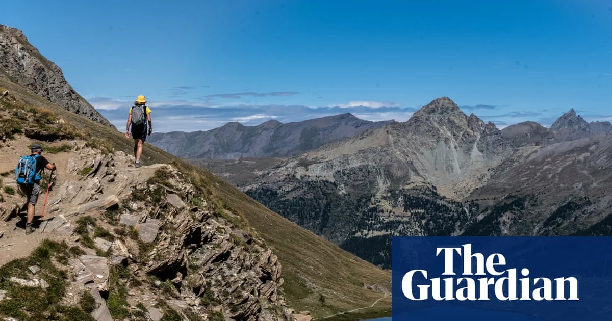
Little known Queyras natural park promises blue-green lakes, mountain views, pretty villages and plenty of cheese – but almost no crowds. The baguette was fresh from the boulangerie that morning, a perfect fusion of airy lightness and crackled crust. The cheese – a nutty, golden gruyère – we’d bought from Pierre: we hadn’t expected to hike past a human, let alone a fromagerie, in the teeny hillside hamlet of Rouet, and it had taken a while to rouse the cheesemaker from within his thick farmhouse walls. But thankfully we’d persevered. Because now we were resting in a valley of pine and pasture with the finest sandwich we’d ever eaten. Just two ingredients. Three, if you counted the mountain air.
As lunches go, it was deliciously simple. But then, so was this trip, plainly called “Hiking in the French Alps” on the website. The name had struck me as so unimaginative I was perversely intrigued; now it seemed that Macs Adventure – organisers of this self-guided walk in the Queyras region – were just being admirably to the point. Yes, Queyras. I hadn’t heard of it either. Bordered to the north and east by Italy, barricaded by a phalanx of 3,000-metre peaks, this regional natural park might be the least-discovered – and the Frenchest – corner of the Alps. Queyras only really entered the national consciousness in 1957, after disastrous floods made it briefly headline news. Tourism filtered in. But it remains little known to outsiders, and centuries of undisturbed agriculture and isolation mean its rural character has been preserved.
Even now Queyras takes some effort to reach. Either you take the narrow, hair-pinning road through the gorges of the Guil River from Guillestre. Or you drive over the 2,361-metre Col d’Izoard (from Briançon) or the 2,744-metre Col Agnel (from Italy), both of which periodically test the thighs of Tour de France riders, and both of which close over winter, all but cutting Queyras off from the rest of the world. Making the most of Macs Adventure’s collaboration with the no-fly specialists Byway, my husband and I travelled as close as we could by train. We overnighted in Paris, whizzed down to south-east France, then chugged more slowly towards Montdauphin-Guillestre, where a Vauban hilltop fort surveils a strategic meeting of valleys. Finally, we boarded the end-of-day school bus, joining children inured to the spectacular views to squeeze up the valley to Ceillac, gateway to the natural park.
The plan from here was to spend six days hiking a circular route that promised big, satisfying climbs but no technical terrain (and no shared dorms or privation). Covering up to 12 miles each day – and walking for an average of six hours – we’d use parts of the GR58 (the grande randonnée that circuits Queyras) as well as other trails to roam between traditional villages. We’d eat cheese, gaze over lakes and mountains, and generally revel in a region that, reputedly, has 300 days of sunshine a year and as many species of flowers as it does people (about 2,500 of both). On day one this meant walking from Ceillac to Saint-Véran, over the Col des Estronques (2,651 metres). It was a fine start, under blue September skies – we’d come at the end of the hiking season (the trip runs June to mid-September), when crocuses still fleck the meadows and houseleeks hang on higher up, but the bilberry bushes are beginning to blaze in fall-fiery colours and there’s a sense of change in the air.
We joined a light stream of other walkers, progressing up the valley via lonely farmsteads and meadows bouncing with crickets. Noisy choughs and a boisterous breeze welcomed us to the pass itself; 100 vertical metres more took us to the lookout of Tête de Jacquette, where we felt like monarchs of this mountain realm. These may not have been the very biggest Alps – few peaks sported any snow – but they rippled every which way, great waves of limestone, dolomite, gabbro and schist. From the col we dropped down through arolla pine and larch to Saint-Véran. At 2,042 metres, it claims to be the highest village in Europe. It’s also a snapshot of Alpine life before the modern world seeped in. The oldest house, built in traditional Saint-Véran style, dates to 1641 and is now the Soum Museum; the ground floor, with its half-metre-thick stone walls, is where animals and families would sleep together for warmth. The upper floors, built from tree trunks, were used to keep hay, barley and rye; the grains were made into coarse loaves that would last the winter.