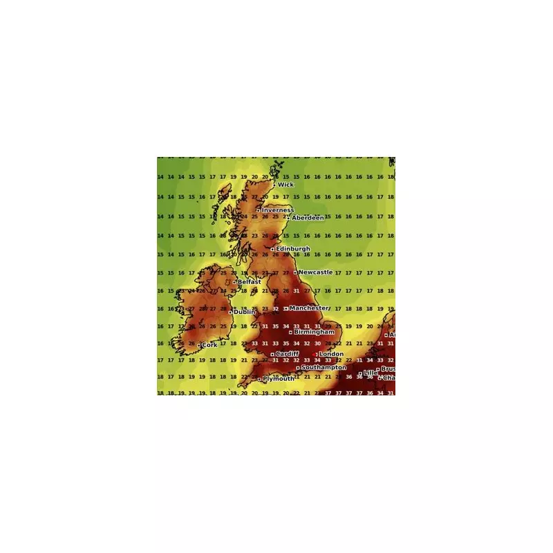
The Met Office has issued a yellow weather warning as Britain prepares for a weekend of torrential downpours and thunderstorms. Large swathes of the country could face travel chaos, flash flooding, and power cuts from Saturday through Sunday.
Where and When Will the Worst Weather Hit?
The warning covers:
- Northern Ireland (all day Saturday)
- Wales and southwest England (Saturday afternoon and evening)
- Northern England and southern Scotland (Sunday)
What Can the Public Expect?
Forecasters predict:
—

- 30-40mm of rainfall within 3-6 hours in affected areas
- Possible lightning strikes and hail
- Sudden flash flooding of roads and properties
- Disruption to road, rail, and air travel
Expert Advice for Staying Safe
Met Office spokesperson Sarah Kent warned: "These conditions could catch people off guard. We urge everyone to check forecasts before traveling and allow extra time for journeys."
Emergency services recommend:
- Avoiding flood-prone routes
- Securing loose outdoor items
- Having torches ready in case of power cuts
Longer-Term Outlook
While Sunday night should bring drier conditions, meteorologists warn this may not be the last severe weather of the season, with climate change increasing the frequency of extreme rainfall events across the UK.