
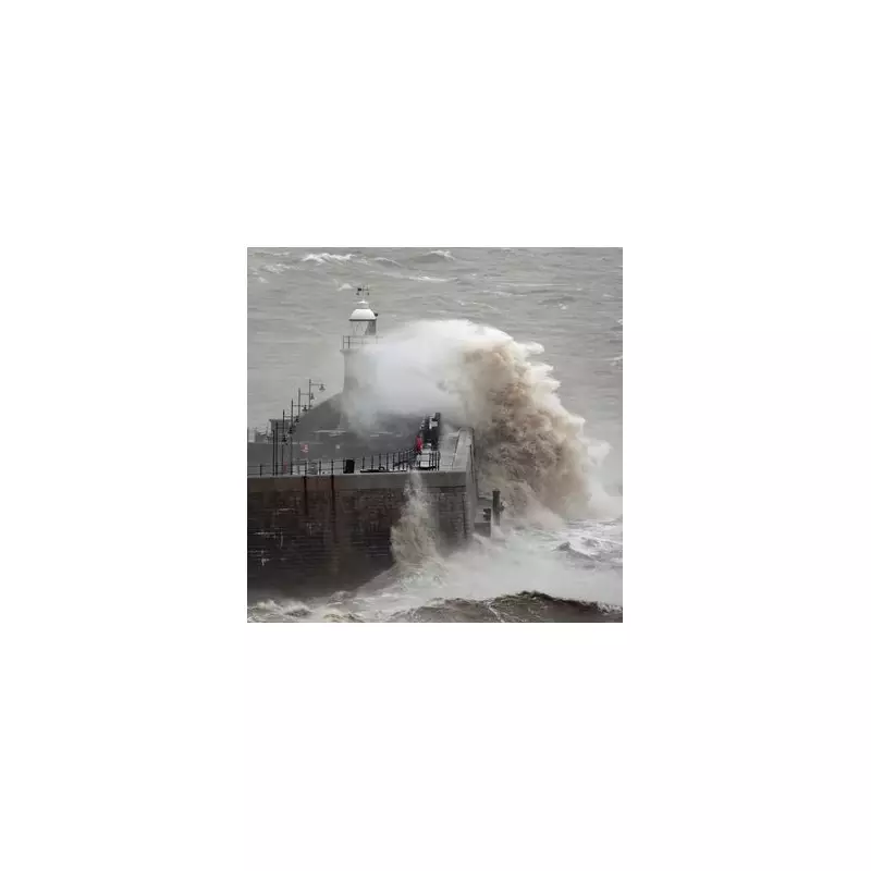
The UK is bracing for another bout of extreme weather as Storm Erin sweeps across the country, prompting the Met Office to issue urgent warnings. Heavy rain and powerful winds are expected to cause widespread disruption, particularly in western regions.
What to Expect from Storm Erin
The Met Office has highlighted several areas at risk, including:
- Localised flooding due to torrential downpours
- Gusts of up to 70mph in exposed coastal areas
- Potential transport delays and power outages
Areas Most Affected
Western parts of the UK are likely to bear the brunt of Storm Erin, with Wales and South West England facing the most severe conditions. The Met Office has issued amber warnings for these regions, urging residents to prepare for hazardous weather.

Safety Advice from Authorities
Emergency services are advising the public to:
- Avoid unnecessary travel during peak storm conditions
- Secure loose outdoor items that could become projectiles
- Stay updated with the latest weather forecasts
With more unsettled weather predicted for the coming days, meteorologists are closely monitoring the situation. Stay tuned for further updates as Storm Erin progresses across the UK.


