
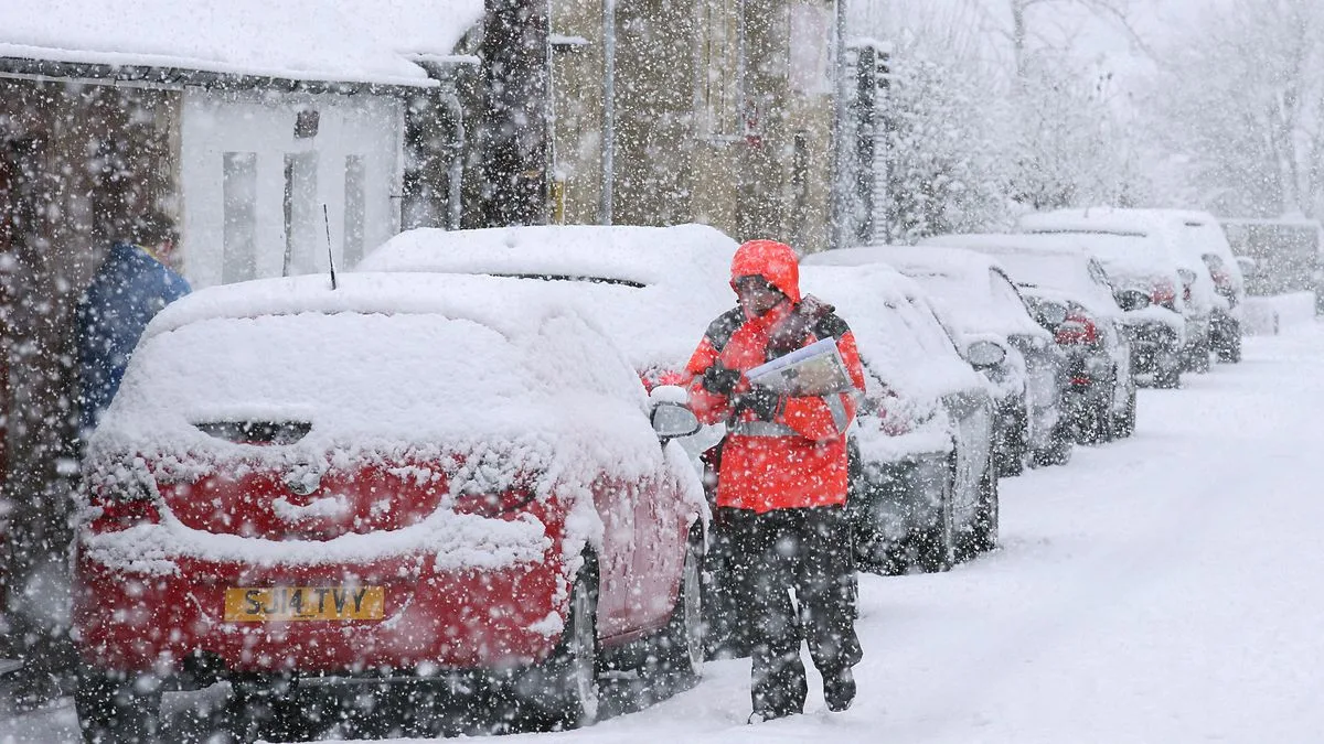
New weather charts from Metdesk indicate that a 240-mile stretch of Wales and England could be buried under up to 10.6 inches of snow by Friday, January 9. The band extends from Swansea in the west to Norwich in the east, with the deepest snow expected in Wales, particularly in the Brecon Beacons National Park, where almost a foot of snow may settle.
In England, the Cotswolds are forecast to see up to 9 inches of snow on the same day. Scotland is predicted to experience even heavier snowfall, with up to 23 inches in the north-west. The Met Office has issued weather warnings for snow and ice, urging caution as temperatures plummet below zero.
Freezing conditions are expected tonight, with some schools already announcing closures for Monday. Maps show lows of -11°C developing over the next 24 hours, with nearly countrywide snowfall in some areas reaching depths of up to 16 inches.
The Met Office's forecast for Tuesday to Thursday warns of a "band of rain and snow moving erratically eastwards across the UK" during Tuesday and Wednesday, with a drier spell on Thursday before another possible bout of rain and snow later.




