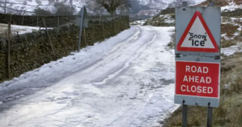
New weather maps show 12 areas of the UK, including Cumbria, are set to see snow on Sunday as a deep low-pressure system sweeps across the country.
Forecast charts from WXCharts, generated using ECMWF data, show the system pushing across Britain on Sunday (November 15), bringing heavy rain to much of England, Wales and Northern Ireland, while turning to snow across higher ground in the north.
Snowfall rates and rainfall peaks
By 9am on Sunday, purple shading on the precipitation map indicates snowfall rates reaching up to 2mm per hour across large swathes of Scotland, alongside isolated patches over the Pennines and the Lake District in northern England.
The same weather system, with a central pressure dropping to 983 hPa over Ireland, is set to unleash torrential rain across Wales, the Midlands and northern England, with rainfall rates peaking at between 15mm and 30mm per hour in the worst-affected areas. Normal air pressure sits around 1013 hPa, so this sharp drop signals a deep, energetic low-pressure system capable of driving strong winds while pulling colder northern air into the UK.
Temperature plunge across the north
Temperatures are set to plunge across the north as cold air digs in behind the weather front. A separate WXCharts minimum temperature map for 12pm on Sunday shows the mercury dropping to freezing and as low as -1C across northern England and across the border into Scotland.
Temperatures across much of lowland Scotland, including Edinburgh and the surrounding area, are set to hover between 1C and 4C, with warmer temperatures expected by the coast. In contrast, milder air drawn up from the south will keep temperatures in southern England, Wales and much of the Midlands much higher, reaching between 6C and 10C, with Cornwall, Devon and Dorset seeing the warmest conditions into the double figures.
Met Office outlook and affected areas
In its outlook for Saturday to Monday, the Met Office weather forecast reads: "Saturday starts cold and frosty with sunshine for many, though cloudier in the north and west. Sunday and Monday bring more unsettled conditions, with rain and hill snow possible."
The 12 areas forecast to see snow on Sunday are: Highland, Argyll and Bute, Perth and Kinross, Stirling, Aberdeenshire, Moray, Angus, South Lanarkshire, Scottish Borders, Dumfries and Galloway, Cumbria, and Northumberland.