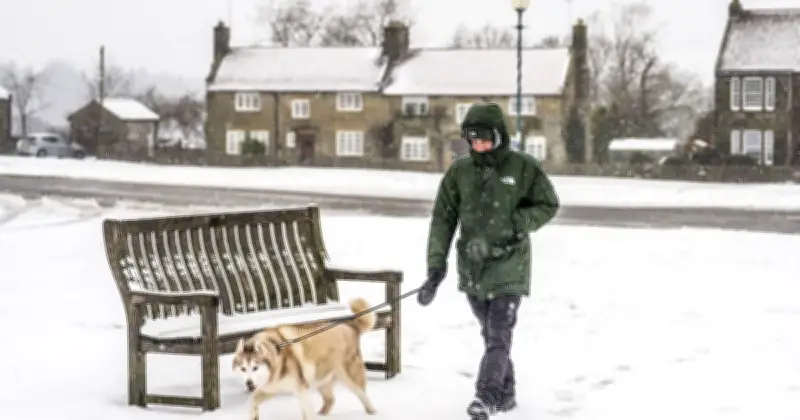
Met Office weather maps indicate that the UK is set to experience 36 hours of continuous snow, beginning around 9am on Tuesday, November 24, and continuing until approximately 9pm on Wednesday, November 25.
According to the weather charts, snow will first begin to accumulate in areas around Dumfries in Scotland and Leyburn in England. By 3pm, many towns and cities across England and Scotland are expected to be covered in snow.
Areas Affected and Forecast Details
The maps suggest that several areas in Scotland, including Biggar, Jedburgh, Moffat, Rochester, Peebles, Fort William, Pitlochry and Stirling, will see layers of snow.
Sharing the forecast for next week, the Met Office said: "From Monday, next week’s weather is likely to come down to a battle between Atlantic systems from the west and higher pressure to the east. This could mean slow-moving areas of possibly heavy rain to western areas at times during the first half of the week, with areas further east more likely to stay drier."
"There’s a chance of some of this precipitation falling as snow in high ground in the north later in the week, though much will depend on the meteorological details closer to the time."
Cold-Health Alerts Extended
The weather chart comes as yellow cold-health alerts issued by the UK Health Security Agency (UKHSA) have been extended for parts of northern England, with warnings for the North West, North East, and Yorkshire and the Humber now in force until 9am on Monday, November 23.
The extension follows the UK's coldest autumn night so far, with temperatures plunging overnight into Saturday, November 21. It was also the chilliest night recorded nationwide since January 9.
According to the Met Office, the mercury dropped to -10.6C at Tulloch Bridge in the Scottish Highlands during the early hours of Saturday.