
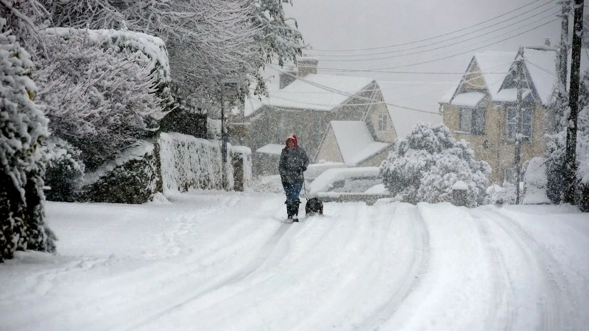
New weather maps have revealed that an 800-mile 'snow bomb' is set to hit the UK on Thursday, November 21, with most of the country expected to be covered in snow by 6 p.m., according to Metdesk graphics from WXCharts. Aberdeen is forecast to bear the brunt, with up to 50cm of snow, while parts of Wales could see around 20cm and northern England about 10cm.
Jim Dale, chief meteorologist at British Weather Services, described the incoming weather as a period of 'very deep snow time' that might last a full week. He said: 'The board is set the pieces are moving! This one is looking like a full week in the freezer before it relents.' He warned of 'traffic dislocation & dangers' for the Midlands and Pennine towns and villages.
The Met Office has also indicated a 'possibility of snow' as soon as this Sunday, as high pressure recedes and Arctic air moves south. Deputy Chief Meteorologist Mark Sidaway noted: 'This shift does introduce the possibility of snow, initially over high ground in the north from Sunday, with gusty winds also a potential hazard.'
WX Charts meteorologists predict wintry conditions around Saturday, November 23, with up to 18 inches of snow possible in some areas, particularly in Scotland. The Met Office advises that warnings for winter hazards are possible later in the weekend and urges the public to stay updated with the latest forecast.




