
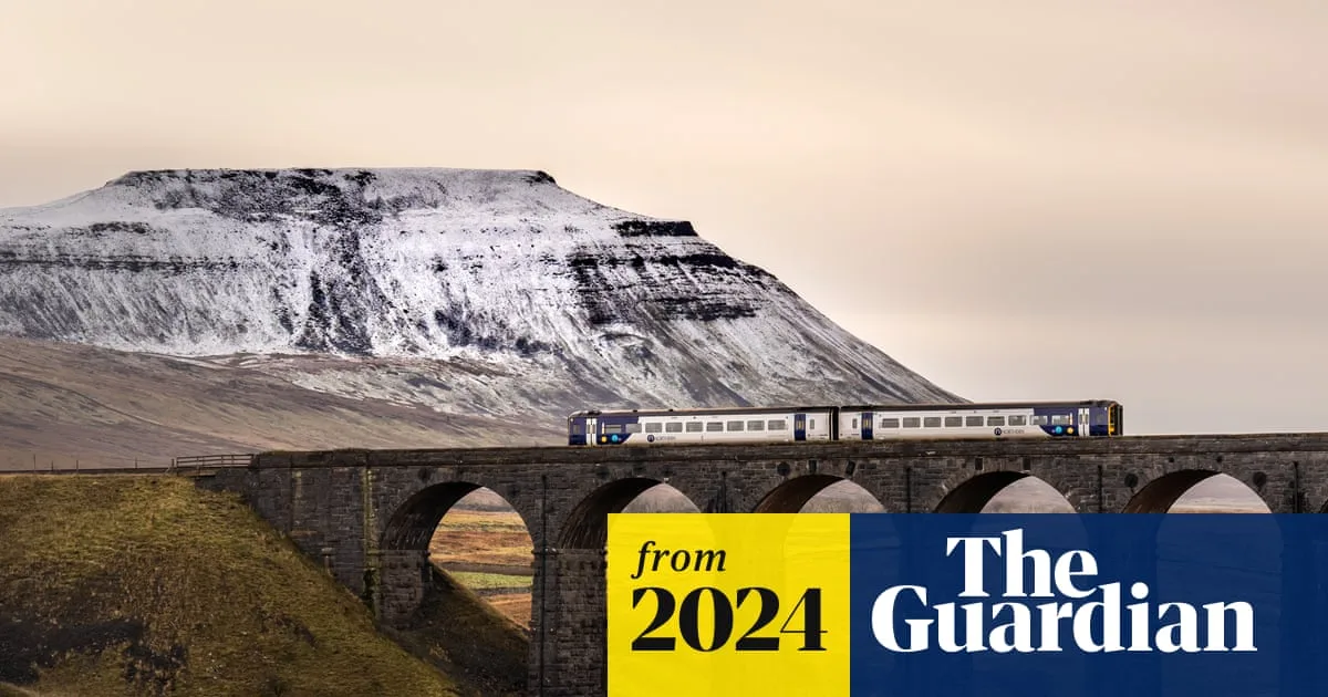
The UK is bracing for 'disruptive snow' and plummeting temperatures this week as an Arctic blast brings the coldest night of the season so far. The Met Office recorded a low of -7.8°C at Tulloch Bridge in the Highlands early Monday, marking the chilliest night of autumn.
Yellow weather warnings for rain, sleet, and snow have been issued from Monday evening through Tuesday morning, covering areas from Northumberland and Cumbria down to north Wales and the Midlands. Up to 20cm of snow could accumulate on hills above 300 metres, with 5-10cm possible at lower levels, particularly in Yorkshire and Derbyshire, which could cause significant disruption.
The UK Health Security Agency has issued its first amber cold weather health alert of the season, warning that conditions could be dangerous for vulnerable people, including the elderly. Age UK echoed the warning, urging extra precautions.
In Northern Ireland, a snow and ice warning is in place from Monday afternoon until Tuesday morning, while northern Scotland faces a similar warning extending into Wednesday. The Met Office's Nicola Maxey said snow has already fallen on hilltops, with 2cm recorded in Lerwick, Shetland, and more is expected as temperatures drop below average across the country.
Temperatures could fall to -2°C in London, -4°C in Birmingham, and -7°C further north by Friday. Drivers are advised to allow extra time for journeys and carry essential winter items, including warm clothing, food, water, a blanket, torch, ice scraper, and a phone charger. Merseyrail will activate its cold weather plan, running first services without passengers to check conditions.




