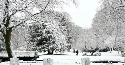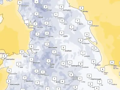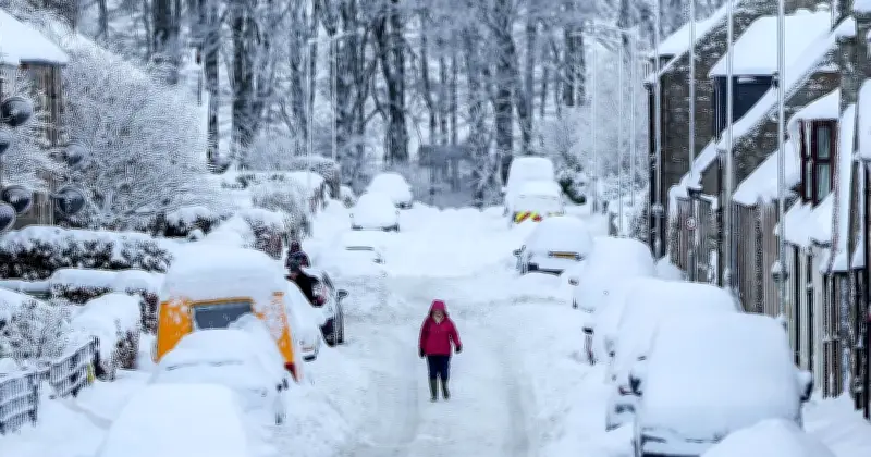
Yellow weather warnings for snow have been issued for large parts of northern and central England and south-west Scotland, with up to 15cm possible in some areas and disruption expected during Tuesday's morning rush hour.
The warning, which stretches from Staffordshire in the West Midlands to south-west Scotland, will be in force from 12am until 11am on Tuesday.
Three regions could see significant snow
Met Office meteorologist Alex Birkhill said the weather was going to be very different in the next 24-48 hours compared to recent fine dry and bright conditions.
He said: "Whilst it has actually been often dry, it's also been pretty cold, that's because we have a northerly flow (of air) at the moment bringing this Arctic air across much of the country. However... things are going to take a bit of a turn towards more unsettled; we have a weather system out towards the west-southwest of us that's going to feed northeastwards."
"Importantly, it's going to hit against cold air that's across us, and as a result, we're going to see some snow," he added.
Snow amounts and affected areas
Birkhill explained that three regions could see "significant" snow over Tuesday and into Wednesday.
He said: "Some significant snow across parts of North Wales, but also northern parts of England and southern Scotland. We could see maybe 5-15cm of snow building up above 300 to 400 metres (above sea level), and even to slighter lower levels, a bit of lying snow is possible, which is why there is a warning out because there is likely to some disruption."
He added that the disruption was expected to occur "during the morning rush hour on Tuesday".
Travel and health impacts
The Met Office said some roads and railways are likely to be affected, and there is a "small chance" of power outages and an impact on mobile phone service.
In England, the affected area covers much of Yorkshire, as well as Derbyshire, Northumberland, Greater Manchester, Cumbria and Lancashire.
Forecasters said a band of rain is expected to head northwards across the UK through Monday night and Tuesday morning, which will likely turn to snow after it encounters colder air in the warning area.
The UK saw its coldest night of the season so far on Sunday, with a low of minus 7.7C recorded at Tulloch Bridge in the Scottish Highlands.
The UK Health Security Agency (UKHSA) has issued a yellow cold health alert for the North West, North East and Yorkshire and the Humber, in place until 9am on Thursday. These alerts mean weather conditions could result in an increased use of healthcare services and a greater risk to life for vulnerable people, the agency said.