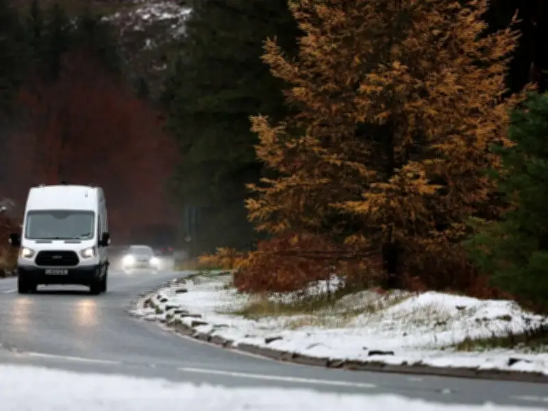
Fresh snow could blanket parts of the UK next week, with some areas forecast to receive up to 9cm. This follows a bitterly cold night across much of the country, as temperatures plummeted to -10C overnight from Friday into Saturday.
Northern regions experienced the worst of the freeze, with the lowest temperature recorded at Tulloch Bridge. The coldest November night on record occurred in 1912, when -16.1C was registered in Cumbria. While conditions aren't anticipated to reach such extremes, another frosty night is forecast for Saturday before wet and windy weather pushes into the south-west on Sunday.
Wintry showers and frost risk
Showers could also turn wintry over higher ground in north-east England and eastern Scotland overnight. Met Office meteorologist Alex Burkill said: "Temperatures fall quickly again on Saturday evening, bringing another risk of frost overnight."
Attention is now shifting towards the prospect of fresh snowfall next week, with Northern England and Scotland amongst the regions that could experience snow on Tuesday, November 24, before wintry conditions extend into Wednesday, reports the Mirror.
Snow depths and affected regions
The ECMWF weather model indicates a band of rain approaching from the west at around 6pm on Tuesday. Initially affecting south-west England and Wales, it could transform into snow as it encounters colder air further north. By 9pm, the model indicates snowfall could move eastwards towards areas of the Midlands, including Staffordshire and Derbyshire, while the most significant snowfall could occur over Scotland's hills, with the charts showing snow depths of approximately 4cm an hour in certain locations.
By 6am on Wednesday, November 25, the maps indicate potential snow coverage extending from the East Midlands to northern Scotland. The Cairngorms could experience up to 9cm on the ground, while around 5cm is forecast for the Yorkshire Dales. Previous GFS charts also suggested snow could occur across areas of England and Scotland on Tuesday and Wednesday.
Met Office outlook and alerts
The Met Office's most recent outlook indicates wetter and windier conditions on Tuesday, followed by changeable weather on Wednesday. Its longer-range forecast allows for snow at times in northern regions, predominantly over hills.
Meanwhile, yellow cold-health alerts across the North East, North West and Yorkshire and the Humber have been extended until 9am on Tuesday, November 24.