
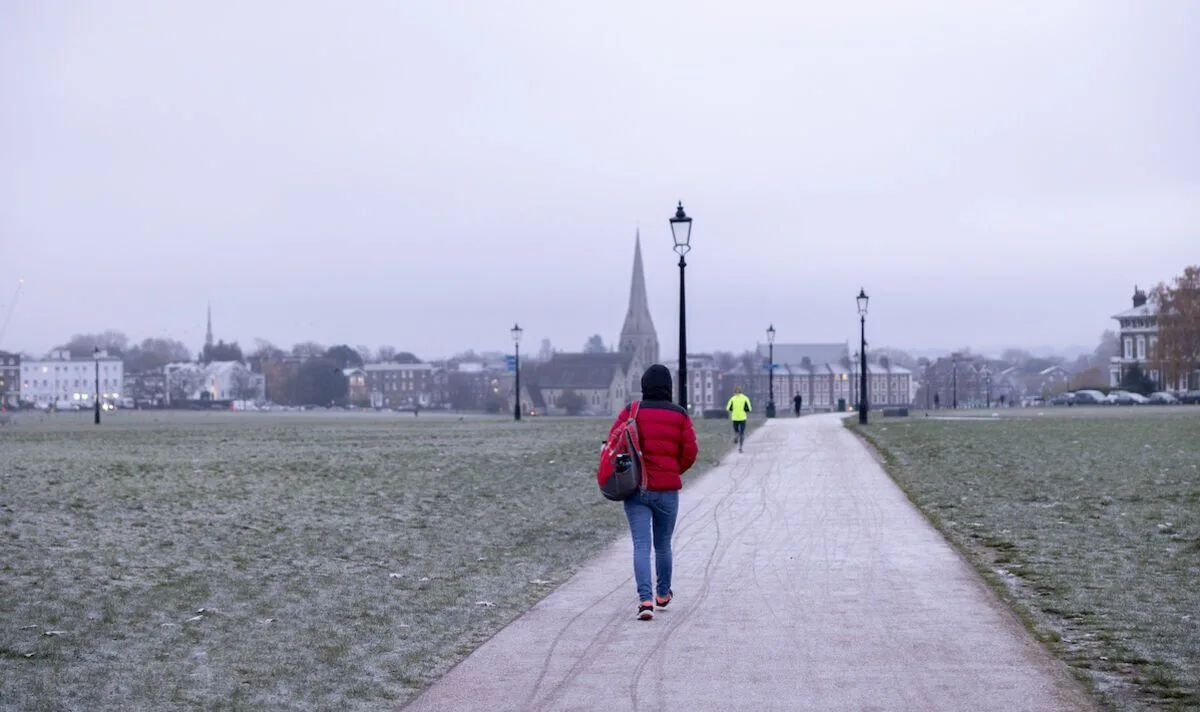
The Met Office has issued a cautious response to weather maps suggesting an Arctic freeze could grip the UK after Christmas, with temperatures potentially dropping to -10C in northern England and Scotland. The maps, from WXCharts, indicate a dramatic temperature plunge and snow accumulation over high ground, raising the possibility of a late white Christmas. However, the Met Office warns that forecasts for Christmas and New Year remain highly uncertain.
The maps show minimum temperatures could fall to -10C or -11C in Scotland on Christmas Eve, with lows between -4C and 0C in England, Wales, and Northern Ireland, alongside several inches of snow in the far north. Despite these dramatic predictions, a Met Office spokesman stated the agency cannot forecast Christmas Day weather 'in any detail', let alone further ahead.
For the week before Christmas, the Met Office expects milder conditions to dominate, with high pressure drawing warmer air from the southwest. Chief Forecaster Paul Gundersen noted that the Foehn effect could bring particularly mild weather to east Scotland. This pattern is likely to persist into the first half of next week, with mild conditions and some rain, mostly in the north and northwest.
Later next week and the days leading up to Christmas, there are indications that the jet stream could shift south, bringing more unsettled weather and a chance of northwesterly winds. This could lead to colder conditions and wintry showers in the north. However, Gundersen emphasised there is 'very little sign of any widespread or severe cold and wintry weather' at this stage.




