
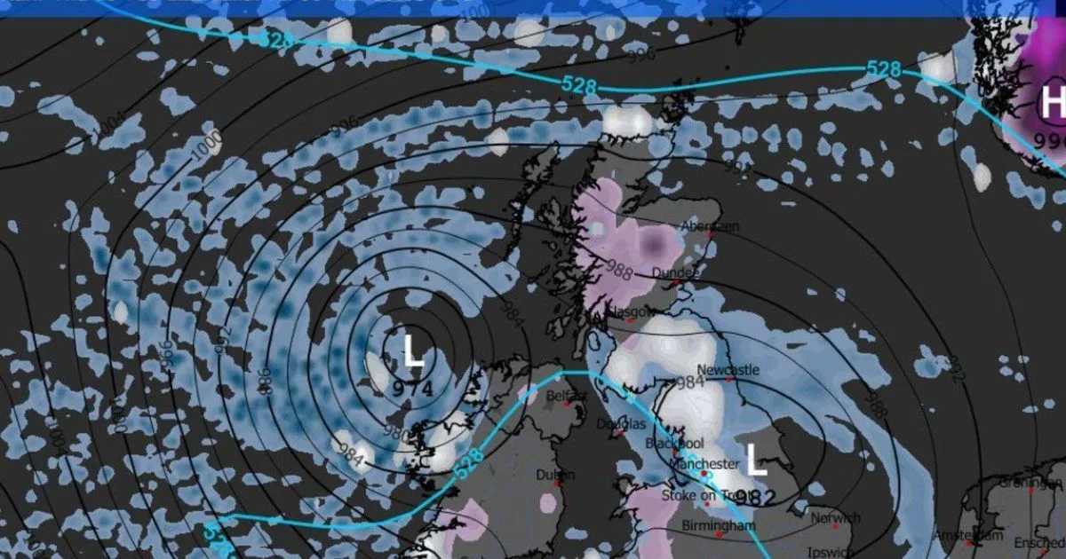
Weather maps indicate a significant cold weather system heading towards the UK, bringing substantial snowfall to 13 cities. The Arctic blast, stretching 579 miles from Oban in Scotland to Plymouth, is predicted to arrive on March 5 at 6pm.
According to WXCHARTS, the most affected regions could see snow accumulations of up to 59cm. Scotland will be heavily impacted, with Perth and Kinross forecast to receive 15cm by midnight on March 6, and Argyll and Bute along with Stirling seeing 10cm.
In England, the Midlands could experience 5cm of snowfall per hour, while northern areas may see up to 3cm. North and Mid Wales are set for up to 5cm, with West Wales likely to get a light dusting. The snow is expected to reach as far south as Devon and Cornwall.
By the evening of March 6, Perth and Kinross could see an impressive 59cm snow depth. Argyll and Bute may be blanketed in 14cm, while central Scotland could get up to 7cm. In England, Cumbria is anticipated to bear the brunt with depths potentially reaching 17cm, and Durham up to 10cm.
North Wales could see around 7cm of snow, Central Wales up to 4cm, and similar levels are expected in Bath, South West England. The extensive snow event is set to affect regions including Scotland, North West, North East, Yorkshire and the Humber, and parts of Wales and southern England.




