
The Met Office has warned that there is 'no end in sight' to Britain's relentless wet weather, with dozens of flood warnings in place across the country. The Environment Agency has issued 85 warnings for England, meaning flooding is expected, mainly in the south-west and Midlands. A further 245 flood alerts are in place, covering areas from North Yorkshire to Cornwall and from the Welsh borders to Norfolk.
Natural Resources Wales has issued 11 flood alerts, while Scotland has one flood warning and five flood alerts. The Met Office forecasts further showers on Sunday, particularly in the west, with persistent rain and drizzle affecting parts of Scotland. The outlook for Monday to Wednesday is cloudy with spells of torrential rain across the UK, though with occasional drier interludes.
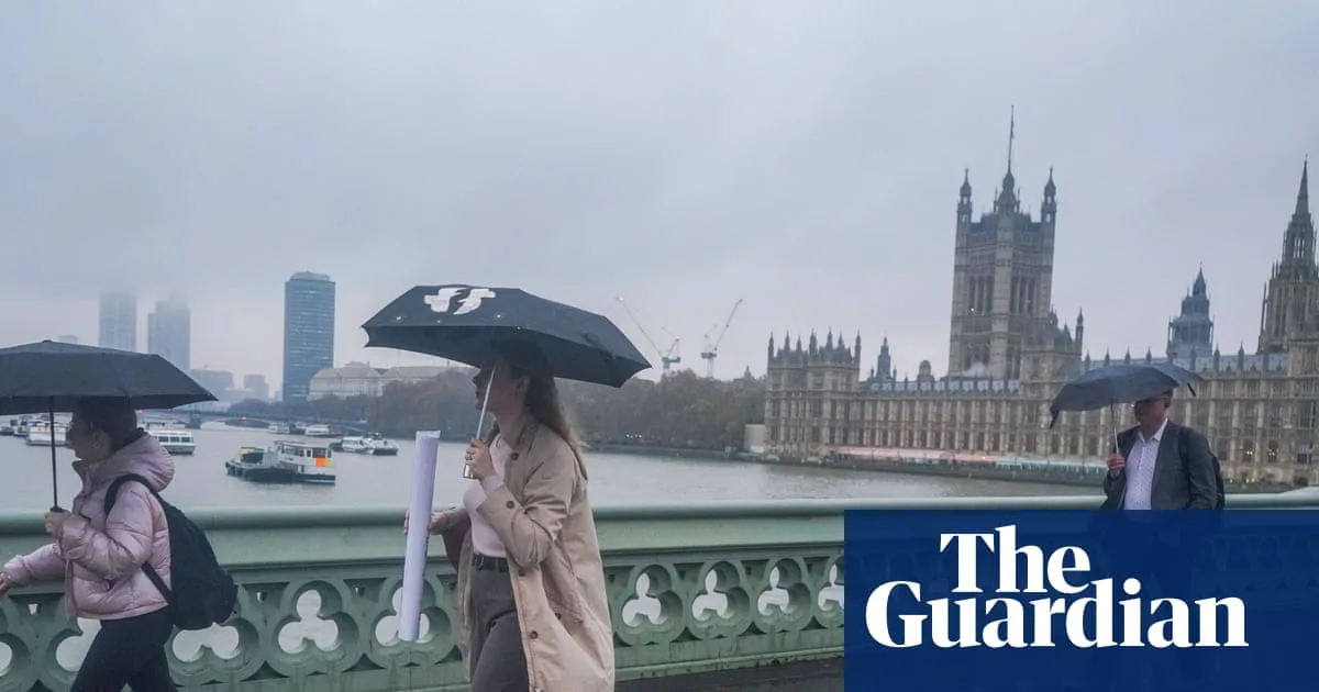
It has rained every day for the last 37 days in the UK. Aberdeen has recorded zero hours of sunshine since 21 January, and Sheffield has had no sunshine so far this month. In the first three days of February, the south-east received nearly a third of its average monthly rainfall. Dan Stroud, a Met Office operational meteorologist, said: 'Unfortunately, there’s no end in sight.'

Newcastle's jumps meeting on Sunday has been abandoned due to a waterlogged track after 13mm of rain in the last 24 hours and 56mm in the past week. The Met Office earlier confirmed that rain has fallen every day of 2026 in the south-west and south Wales, with both regions experiencing 50% more rainfall than usual for January.


