
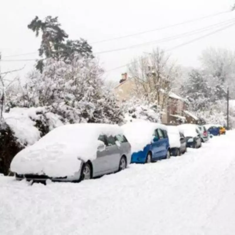
Advanced meteorological models are issuing a stark warning for the United Kingdom, with detailed snow maps indicating a significant winter weather event is poised to strike northern England in early April. According to the latest data from WXCharts, a formidable band of snow, stretching approximately 80 miles in length, is forecast to descend across the region by 6am on Saturday, April 11, threatening to deposit up to a staggering 17 inches of accumulation in the hardest-hit areas.
Severe Snowfall Targets Specific Counties
The weather system is predicted to bring a wall of snow that will initially impact northern England, creating deep drifts before progressing further north into Scotland. While flurries are anticipated in parts of Wales and Northern Ireland, the brunt of the storm is expected to be borne by counties in the north of England. Cumbria, particularly the Lake District national park, and Durham are identified as the epicentres of this severe weather, with higher ground in these areas potentially seeing up to 17 inches of snow settling.
Widespread Disruption Across Multiple Regions
The forecast extends beyond these worst-hit zones, with Cheshire, Lancashire, Derbyshire, Staffordshire, Northumberland, Yorkshire, Cumberland, and Westmorland also bracing for snowfall by the same date. Lighter accumulations are projected for other regions; the Scottish Borders may receive up to three inches, while parts of Wales, including Gwynedd, Powys, and Merthyr Tydfil, are set for just under an inch of snow. This widespread event could lead to substantial travel disruptions, school closures, and challenges for local infrastructure as the UK transitions into spring.

Met Office Warns of Unsettled Conditions
This specific snow forecast aligns with broader warnings from the Met Office, which has indicated "unsettled conditions" are likely as the country moves into the new month. The national weather service's long-range forecast for April 4 to April 13 highlights the potential for "strong winds and heavy rain" over the Easter holiday weekend, with the "wettest and windiest" weather expected in the west and north of the UK. Although the Met Office does not explicitly mention snow in its general outlook, it notes that high pressure could contribute to an "unsettled overall" pattern, particularly in northern and western areas, which may include wintry precipitation like the snow predicted by WXCharts.
The agency further explains that beyond Easter, a northwest-southeast split in weather conditions is probable, with northern and western parts remaining "rather unsettled overall" with further spells of wind and rain. In contrast, southeastern areas might experience drier and clearer interludes. Temperatures are expected to be close to average overall, though occasional warmer spells are possible in the south, suggesting a volatile and unpredictable weather period ahead for the nation.


