
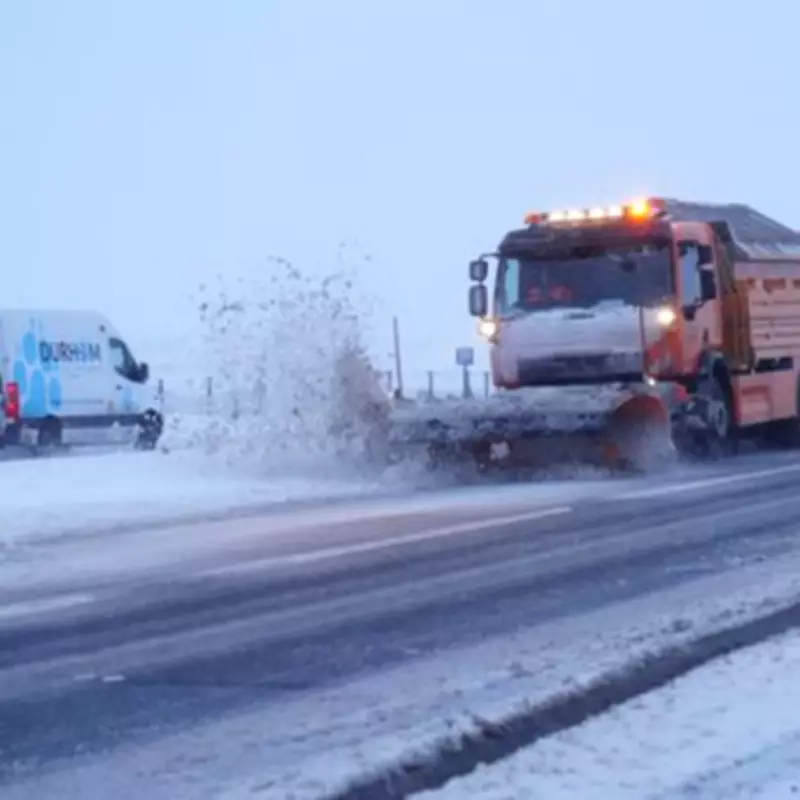
UK Braces for 500-Mile Snow Blizzard: Eight-Hour Onslaught Predicted
Britons are preparing for a severe weather event as forecasts predict a massive 500-mile wall of snow will sweep across the United Kingdom, lasting for approximately eight hours. This extensive blizzard is expected to stretch as far south as Cornwall, bringing wintry conditions to a wide swathe of the country.
Forecast Details and Timing
According to WXCharts weather maps, which utilise MetDesk data, the chilly onslaught is scheduled to arrive on March 1. Snowfall and plummeting temperatures will blanket the nation, with the event projected to occur between 6pm on March 1 and 12am on March 2. During this period, significant accumulations are anticipated, particularly in central Scotland.
Affected Regions and Cities
The snowstorm is set to impact an estimated 31 cities across the UK. Key urban centres expected to be affected include Birmingham, Edinburgh, Derry, and Bangor. In the Grampians, snowfall could reach between 45cm and 67cm, while other parts of central Scotland may see accumulations ranging from 1cm to 14cm.

Temperature Plunge and Weather Warnings
Temperatures are forecast to drop sharply, with central Scotland experiencing lows of around -8°C. Other regions will not be spared, as Northern Ireland faces temperatures between 0°C and -3°C, Wales between 0°C and -1°C, and Northern England between 4°C and -1°C. The Midlands are expected to see readings of 2°C to 4°C, while southern England will range from 0°C to 3°C.
The Met Office has commented on this period, noting that "showers or longer spells of rain, as well as occasional strong winds, are most likely at first as Atlantic low-pressure systems dominate in the vicinity of the UK." They added that "some heavy rain is likely in places, with some snow probable at times, mainly on high ground in the north." Forecasters also indicated that drier interludes may become more frequent as the period progresses.
Current Weather Alerts
This upcoming event follows recent weather warnings issued by the Met Office. A yellow snow and ice warning is currently in effect for northern Scotland, valid from 3pm today until 10am tomorrow. This alert predicts snow settling on hills and lower areas overnight, with accumulations of 1-2cm at low levels, 2-5cm above 150m, and 5-8cm above 300m. The Met Office warned that "ice is likely on untreated surfaces" due to sub-zero temperatures, and isolated lightning strikes could pose additional hazards.
Additional ice warnings have been issued for Northern Ireland, northern England, and East Anglia, highlighting the widespread nature of the cold snap. Residents are advised to stay updated on forecasts and take necessary precautions as the severe weather approaches.


