
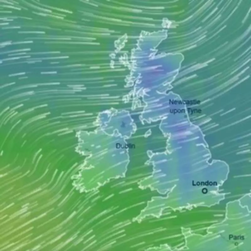
The United Kingdom is on high alert as weather maps transform into an ominous icy blue, signalling a severe cold snap poised to grip the nation. Britons must brace for a mercury plunge of up to 12 degrees Celsius within just over a week, with frost and hill snow anticipated as unpredictable weather patterns shift dramatically.
From Balmy to Bitter: A Stark Temperature Reversal
This frigid turn presents a stark contrast to the unseasonably warm conditions many regions enjoyed recently. Notably, Thursday marked the hottest day of the year so far, with temperatures in Northolt, west London, soaring to 19.2C—far above the typical 12C average for early March. Even on Friday, Altnaharra in the Scottish Highlands surprisingly recorded the UK's warmest spot at over 13C.
However, by Sunday, March 15, forecasters predict a drastic change. Altnaharra is likely to see temperatures plummet to just 1C due to an approaching low-pressure system from the west. More widely across the UK, a bitter 3C is expected, but it will feel even colder because of fierce westerly winds potentially reaching speeds of 60mph.

Sunday Marks the Start of a Prolonged Chilly Spell
Sunday heralds the beginning of a colder period that could extend for weeks. The Met Office's mid-range forecast indicates that Atlantic frontal systems will bring occasional spells of rain or showers, most frequent in the west and northwest, accompanied by strong winds. The forecast also warns of shorter-duration colder interludes where frost and hill snow are possible.
Meteorologist Nick Finnis of Netweather echoed this outlook, stating on the service's blog: "After a mild and dry start to March, it looks to turn increasingly unsettled this coming week, with spells of rain or showers at times and also becoming windy. Turning colder later in the week, with risk of hill snow in the north and west and widespread overnight frost too."
Blizzard Threats and Widespread Impacts
During this cold spell, a significant blizzard could envelop large parts of Scotland, northern England, and the Midlands. Early meteorological assessments suggest that most of Scotland, Wales, Northern Ireland, and the Northwest of England may experience the heaviest snow flurries.
The BBC Weather forecast for March 16 to 29 supports this pattern, noting: "The second half of March will most likely start off with a similar pattern, with high pressure across the European continent while low pressure systems steer across the eastern North Atlantic. They will occasionally bring frontal systems across the UK."
This impending weather shift underscores the UK's volatile climate, as residents prepare for a swift transition from spring-like warmth to winter's icy grip, with all the associated disruptions to travel and daily life.


