
UK Snow Maps Predict Wintry Blast Week After Record Heat Confirmed
Britons are preparing for a sudden return to winter conditions, as new advanced weather modelling maps reveal that much of the country could be buried under a significant blizzard next week. This dramatic shift comes just days after the Met Office officially confirmed the hottest day of the year so far, highlighting a stark and rapid weather reversal.
Snow Forecast for Major Cities
Detailed snow maps from the GFS weather model indicate that flurries could hit several major urban centres across the United Kingdom. Cities such as Glasgow, Blackpool, Manchester, and Birmingham are all in the potential path of this wintry weather. Despite many regions currently enjoying a sunny and mild spell, these forecasts suggest temperatures are set to plummet sharply, with a high risk of snow showers before the end of March.
The modelling tracks snow initially falling in Scotland, Northern Ireland, and northern parts of England during the early hours of March 27. It is then projected to move southward, potentially impacting areas as far south as London. By midday, the maps show snow spreading across Wales, the north-west, the Midlands, East Anglia, and parts of the south-east.

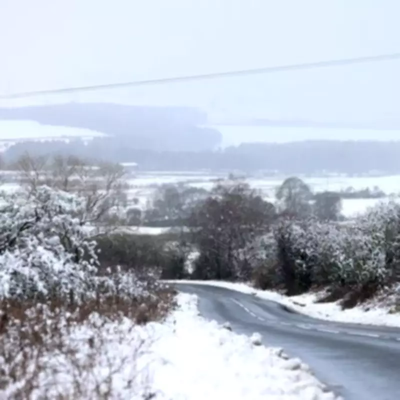
Temperature Drops and Snow Depth Predictions
Temperatures in some regions are expected to drop as low as -6°C, with cities like Glasgow and Newcastle forecast to reach around -3°C. Snow depth charts predict that western Scotland could see accumulations of up to 18 centimetres, while locations including Stoke, Swansea, and even Southampton in the south might also experience lying snow.
This cold snap follows a period of unseasonably warm weather, where the UK basked in sunshine and recorded its highest temperatures of the year. The contrast underscores the volatile nature of British spring weather, with rapid transitions from heat to frost.
BBC Weather Outlook and Potential Scenarios
BBC Weather supports these predictions, suggesting cold spells could arrive by the end of the month. Their forecast for March 23 to 29 states that high pressure will likely shift away, allowing frontal systems to bring wet and windy conditions, particularly in northern and western regions. A brighter but chillier interlude with north-westerly winds may follow, bringing scattered showers that could turn wintry over higher ground, especially in the northern half of the UK.
The second half of the week might see drier conditions returning as high pressure reasserts itself. However, there is an increased risk of overnight and morning fog patches. The forecast notes that small differences in this blocked pattern could alter the outlook, such as if high pressure moves west, potentially prolonging colder and unsettled weather.
Residents are advised to stay updated with local weather warnings and prepare for possible travel disruptions and cold conditions, as this unexpected wintry blast could impact daily life across the nation.


