Arctic Blast Returns Winter to UK, Delaying Spring's Arrival with Snow and Ice
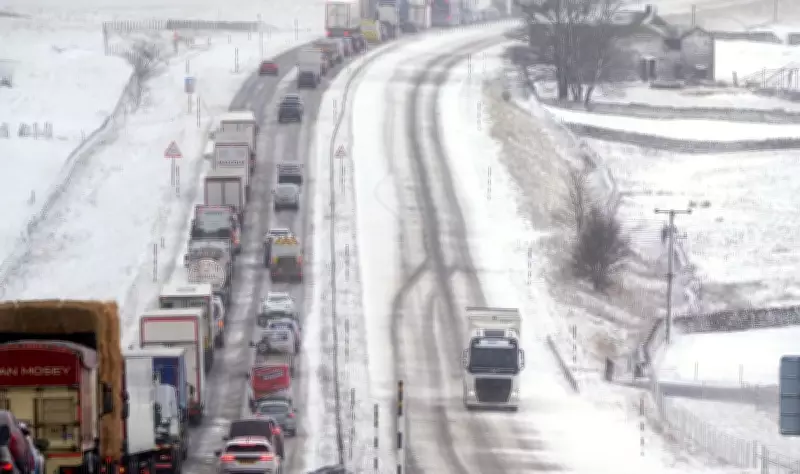
After a brief flirtation with milder conditions, Britain has been abruptly dragged back into the icy grip of winter, as a powerful Arctic air mass sweeps across the country. This frigid relapse is set to maintain temperatures largely in the single digits and bring significant snowfall to many regions over the coming weekend, postponing the anticipated onset of spring.
Met Office Issues Snow and Ice Warnings
The Met Office has activated a yellow warning for snow and ice across central and north-west Scotland on Friday, where accumulations of 2 to 5 centimetres are expected even at lower elevations, with potential for up to 10 centimetres over higher terrain. Additional light snow dustings may affect the hills of Northern Ireland, the English Lakes, and the Pennines. Elsewhere, Friday's forecast promises a tumultuous mix of sunshine, rain, sleet, hail, thunder, and occasional rainbows, creating a volatile and chilly atmosphere.
Temperatures will struggle to reach double figures in most areas, with only the South East possibly seeing slightly warmer readings. Although winds are not expected to be as ferocious as those experienced on Thursday, they will remain blustery enough to accentuate the cold. Showers will be squally and sharp, further exacerbating the wintry feel.

"A whiff of winter has returned to our weather," stated Met Office meteorologist Alex Deakin. "Everywhere is feeling colder than yesterday, and for some, there are a few snow flurries around." While snow is primarily forecast for higher ground, Deakin noted that "some will get down to lower levels," where sleet and hail mixed into showers are likely, potentially leading to icy conditions and treacherous driving scenarios later on Friday.
Weekend Outlook: Frosty Nights and Wintry Showers
The cold snap is projected to linger throughout the weekend, with Scotland and Northern Ireland bracing for a couple of frosty nights and daytime temperatures remaining below seasonal averages. Saturday is expected to start bright and crisp, with sporadic sunshine that might offer fleeting moments of pleasantness when the Arctic winds subside. However, scattered rain showers will punctuate the afternoon in various regions.
Sunday's forecast looks cloudier, windier, and more shower-ridden, with a renewed chance of wintry weather returning to northern areas by nightfall. The colder air mass is anticipated to persist into early next week, after which temperatures should gradually recover to slightly above the mid-March average as spring approaches—a modest consolation following a weekend likely to be marked by sleet and hail pelting.
What is Driving This Sudden Return to Winter?
Britain's current weather is being dictated by the origin of the air being funnelled over the country, with this batch emanating directly from the Arctic. The chain reaction began in the United States, where warm air from the Gulf of Mexico collided with Arctic cold, producing deadly storms, tornadoes, and record-breaking hail in Illinois. This violent temperature clash supercharged the jet stream, which then barrelled across the Atlantic at speeds exceeding 200 miles per hour.
In turn, this has spun a deep area of low pressure near Iceland. That system swept across the UK on Thursday, dragging down a fresh supply of Arctic air in its wake, explaining the sudden return to winter-like conditions and delaying the much-anticipated arrival of spring.