Heatwave Expected Across Wales Next Week
Another heatwave could be on the way for Wales, with Met Office weather maps showing temperatures rising above 25°C in several areas. After a warm week where temperatures remained close to average, an area of high pressure is set to bring dry and warm conditions, potentially meeting official heatwave criteria.
The Met Office defines a heatwave as three consecutive days at or above a set temperature. For most of Wales, this threshold is 25°C. Forecasts indicate that Monmouth could see temperatures above 25°C for three consecutive days starting Monday, July 6.
Comparison to June Heatwave
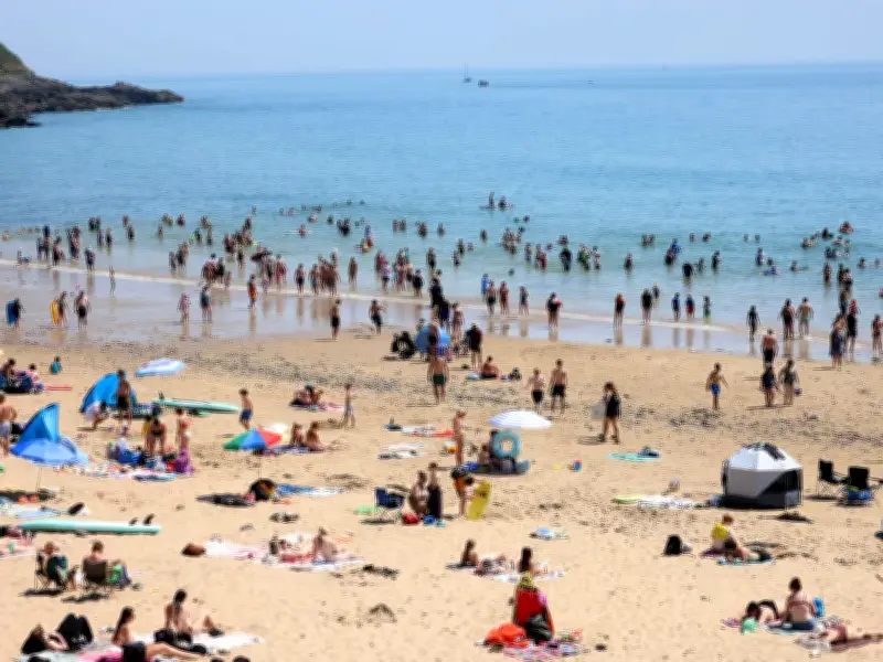
Wales experienced a scorching heatwave at the end of June, with temperatures well above 30°C and a rare red extreme heat warning issued by the Met Office. Hundreds of schools closed during that period. However, forecasters say the upcoming heatwave will not be as hot or humid as the previous one.

Met Office spokesperson stated: "Temperatures becoming widely warm, perhaps locally hot in parts of the southeast, although not as hot nor humid as seen in the past week."
Detailed Day-by-Day Forecast
Sunday, July 5: Temperatures start to rise in south-east Wales, with 25°C forecast in Monmouth.
Monday, July 6: South and north Wales remain close to average, but eastern areas like Newport, Abergavenny, and Monmouth are predicted to be hotspots for warmer temperatures.
Tuesday, July 7: The heatwave threshold could be met in Wales, with a third consecutive day of 25°C forecast for Monmouth.
Wednesday, July 8: Warmer across the country as high pressure takes hold.
Thursday, July 9: Likely the hottest day of the week, with mid-20s in south Wales and highs of 27°C in Monmouth.
Friday, July 10: Warm weather continues, the last day of Met Office maps.
Long-Range Outlook
The Met Office long-range forecast for July 6 to July 15 states: "High pressure will dominate across England and Wales into next week, likely extending its influence across more of the northern UK with time. This will bring dry and warm conditions with plenty of sunshine for most."
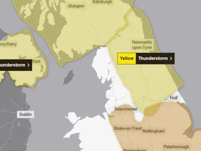
The BBC long-range forecast adds that the high pressure could weaken temporarily, potentially bringing some rain and isolated thunderstorms, but daytime temperatures should remain above normal.